Telecom solutions

Manage the network behind the service

Plan, design, build, document, and operate telecom networks from a more connected view. The 3-GIS telecom software suite turns asset, connectivity, field, and workflow data into a reliable operational foundation for deployment, serviceability, maintenance, and growth.

Telecom_Overview_hero (1)

Trusted telecom technology

Built for diverse telecom networks

Fiber operators, broadband providers, AltNets, municipalities, utilities, campuses, engineering firms, and service providers rely on 3-GIS to plan, build, document, and operate complex communications networks with greater clarity and control.


oman_logo6654_1 orange-logo-resized (3) fingrid-logo-resized lumos-logo-resized gasline-logo-resized g-network-logo-resized windstream-logo-resized

3-GIS telecom solutions
a reliable partner.

3-GIS provides telecom network management software for organizations planning, building, operating, and maintaining complex fiber networks. The ecosystem is anchored by 3-GIS | Web and supported by Mobile, Admin, Diagramming, Prospector, and APIs to make it easier for teams to maintain accurate network records, reduce workflow gaps, improve field-to-office alignment, and make better decisions across the network lifecycle.

From buildout to better decisions

Telecom teams need a trusted view of where the network is, how it connects, what has changed, what can be served, and where investment can create the most value. 3-GIS turns network data into something teams can use across planning, design, construction, operations, and growth.

Hub icon


Trusted network records

Maintain a more accurate view of fiber, copper, ducts, equipment, structures, connectivity, field updates, and operational network data.

conversion_path_teal


Network connectivity

Understand how network assets connect, serve customers, support capacity, and affect downstream workflows across the business.

Timeline icon


Lifecycle continuity

Carry network data from planning and design into construction, as-builts, field operations, maintenance, and long-term management.

compare_arrows_teal


Office-field alignment

Reduce disconnects between design intent, contractor execution, field verification, as-built updates, and the system of record.

admin_panel_settings_teal


Configurable governance

Control workflows, roles, permissions, data visibility, and user experiences as teams, vendors, and business needs evolve.

Query icon


Enterprise-scale growth

Strengthen growing, complex, multi-region telecom networks with better visibility, data governance, and operational decision-making.

Find your workflow

Choose the right telecom path

Every team touches the network differently. Start with the challenge you are trying to solve, then explore the 3-GIS solution and product path built around that workflow.

Plan
Inventory
Build
Operate
Telecom_Overview_hover_swap_module_Plan (1)
 
Planning & design

Plan routes, evaluate opportunities, design fiber networks, model connectivity, and create data that can carry forward into construction and operations.

Telecom_Overview_hover_swap_module_Inventory (1)
 
Assets & inventory

Document physical and logical network records so teams can understand what exists, what connects, what is serviceable, and what can generate revenue.

Telecom_Overview_hover_swap_module_Build (1)
 
Construction & field

Keep surveys, walkouts, construction updates, redlines, inspections, repairs, replacements, and as-builts tied to the network record.

Telecom_Overview_hover_swap_module_Operate (1)
 
Operations & maintenance

Use trusted network data to support outage response, maintenance, capacity insight, field updates, service delivery, and ongoing operations.

Telecom products

A connected software ecosystem

3-GIS telecom products work together around the network record. 3-GIS | Web is the core platform, enhanced by Diagramming and Prospector, while Mobile, Admin, APIs, and specialized extensions expand the ecosystem to support field work, governance, visualization, planning, and connected enterprise workflows.

3-GIS | Web

Core network management platform.

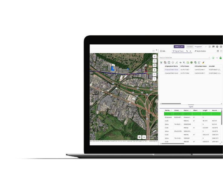
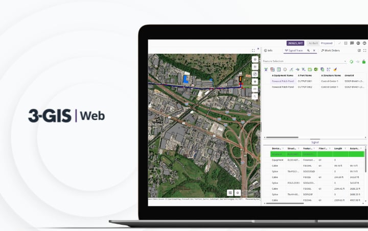
3-GIS | Web is the central platform for telecom network design, management, analysis, documentation, connectivity, and operational visibility. It is the foundation for the connected 3-GIS telecom ecosystem.
3-GIS | Web spec sheet

3-GIS | Mobile

Field access and updates.

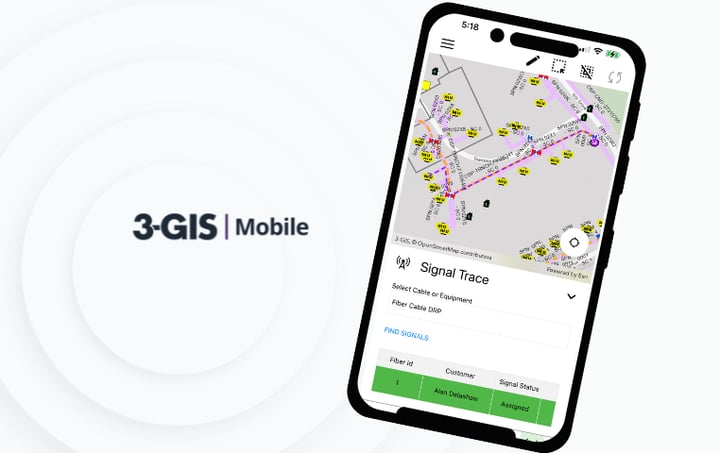
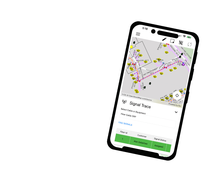
3-GIS | Mobile extends network data into the field, enabling teams to capture updates, verify assets, document as-builts, attach photos, redline changes, and keep field activity connected to Web.
3-GIS | Mobile spec sheet

3-GIS | Admin

Configuration and governance.

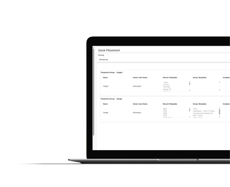
3-GIS | Admin manages roles, permissions, data visibility, contractor access, workflow configuration, QA/QC rules, and system governance across the 3-GIS telecom environment.
3-GIS | Admin spec sheet

3-GIS | Diagramming

Network visualization outside of Web.

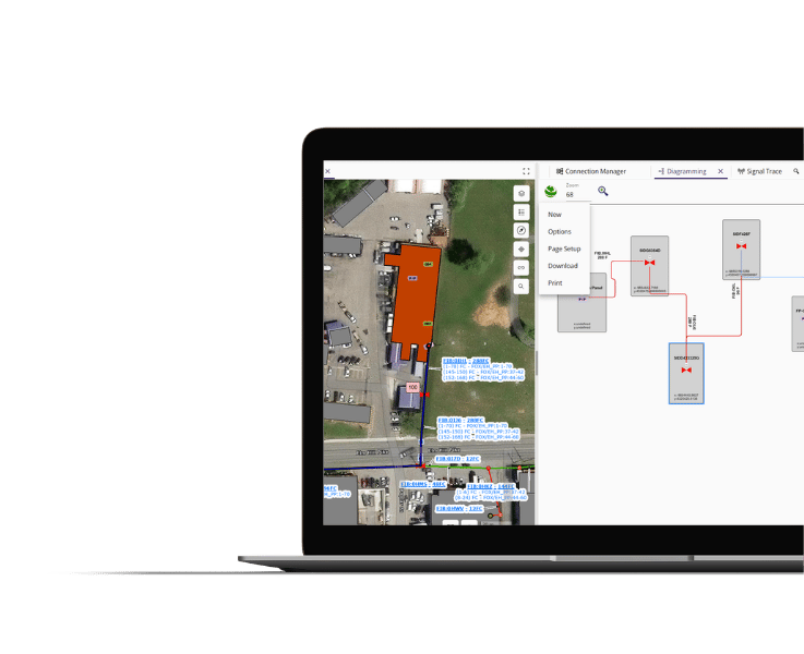
3-GIS | Diagramming provides exportable visualizations of complex fiber connectivity, including strand-level detail, equipment relationships, and splicing context.
3-GIS | Diagramming spec sheet

3-GIS | Prospector

Planning analysis inside Web.

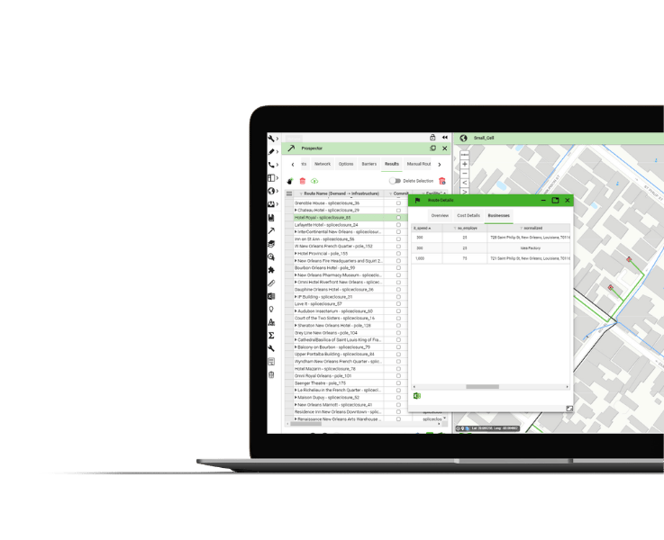
3-GIS | Prospector drives early planning by allowing teams to evaluate market opportunities, routes, customers, service areas, and expansion strategies before detailed design begins.
3-GIS | Prospector spec sheet
Related resources

Keep exploring

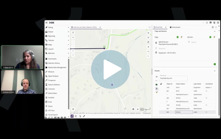
Explore telecom resources, product information, webinars, customer stories, and solution content for fiber planning, network records, field workflows, and operations.
3-GIS | Web Image
Telecom | Product spec sheet 3-GIS | Web 3-GIS | Web brings telecom network data, GIS editing, signal tracing, project tracking, and enterprise collaboration together in one browser-based system.
3-GIS | Web: Enterprise APIs Image
Telecom | Product spec sheet 3-GIS | Web: Enterprise APIs 3-GIS | Web APIs connect telecom network data with the systems and workflows teams rely on, improving interoperability, data transfer, and operational efficiency.
3-GIS | Web: Copper modeling Image
Telecom | Product spec sheet 3-GIS | Web: Copper modeling 3-GIS | Web supports copper and fiber network management in one system, giving teams a clearer view of assets, connectivity, and network changes.

Let’s connect

Build around a better network record

Ready to bring your fiber network workflows into one clearer system? Talk with us about how 3-GIS can support planning, design, documentation, and operations across your network lifecycle.