


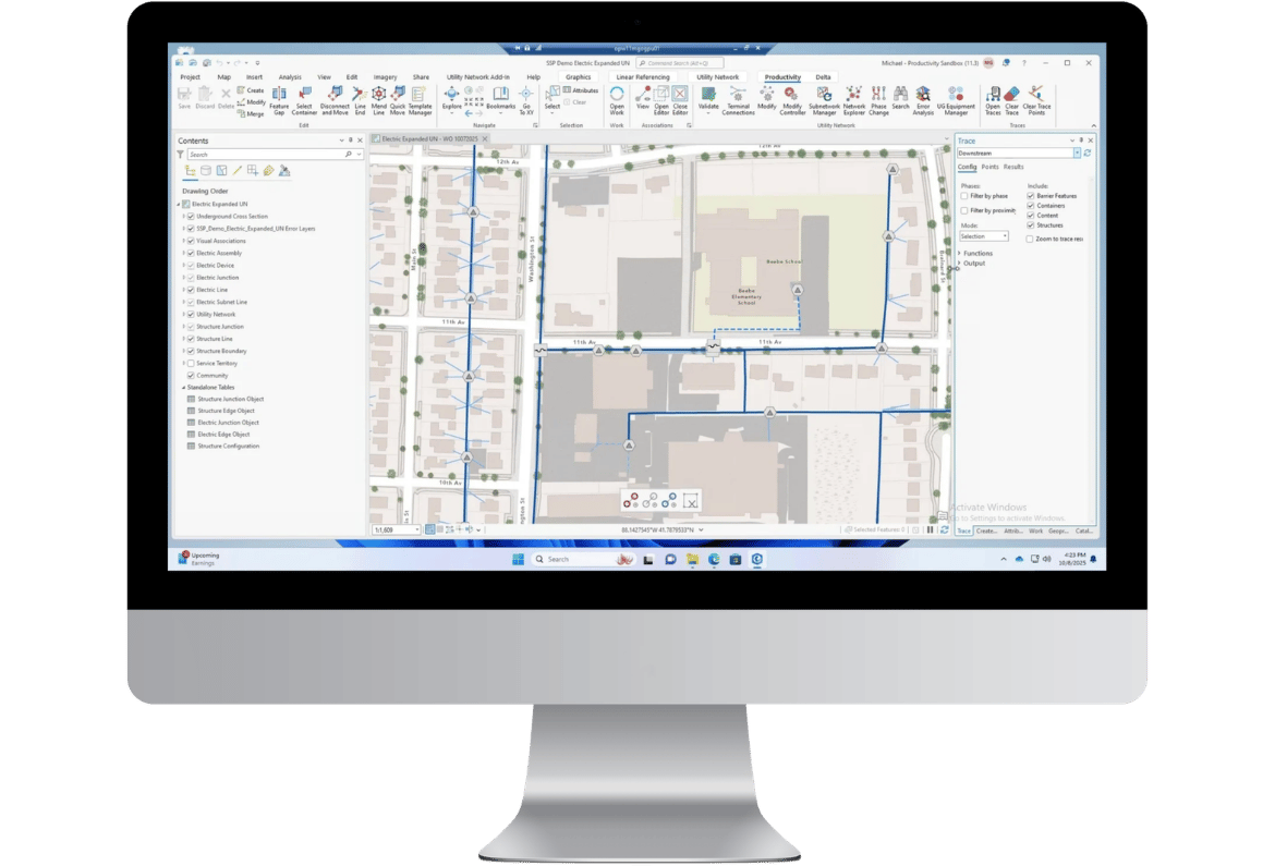

3-GIS | Productivity

Operationalize the Utility Network

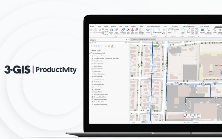
3-GIS | Productivity gives electric and gas utility GIS teams a governed environment for editing, validation, automation, tracing, versioning, commissioning, and map production in ArcGIS Pro and the Esri Utility Network. Purpose-built for Utility Network operations, Productivity reduces manual administration, standardizes complex workflows, and protects the quality of authoritative network data.

Contact us
View resources
260704_Img_Product_Hero_Productivity

Productivity at a glance

3-GIS | Productivity is a Utility Network operations platform for electric and gas utility GIS teams. It brings editing tools, workflow management, version control, automation services, validation, traceability, subnetwork management, and map production into a governed ArcGIS Pro experience built for scalable, auditable network change. 

Utility GIS automation

Move beyond manual administration

Utility Network work is complex, high-volume, and difficult to scale through manual effort alone. 3-GIS | Productivity turns editing, validation, version management, posting, cleanup, commissioning, and map production into repeatable workflows and automated services, giving GIS teams greater control over network change.

Talk to us
Man in blue shirt using laptop

Workflow control

Where Productivity takes control

3-GIS | Productivity manages the high-effort Utility Network workflows GIS teams run every day, from editing and validation to version control, tracing, and map production.

Editing
Validation
Automation
Traceability
Accelerate edits

Give GIS editors a focused ArcGIS Pro workspace for common Utility Network editing tasks, reducing repetitive steps and improving consistency across users.

Enforce data quality

Detect, analyze, and resolve Utility Network errors through guided validation workflows that keep data quality built into daily editing.

Eliminate manual processes

Run posting, cleanup, validation, change detection, commissioning, exports, and map production as coordinated services instead of manual tasks.

Track every change

Maintain a defensible record of network edits with visibility into what changed, where, when, and by whom before changes reach Default. 

Key features

Tools for Utility Network teams

Productivity gives utility GIS teams the control required to manage Utility Network change at scale. Each capability is designed to reduce manual administration, enforce consistency, improve auditability, and keep authoritative network data ready for downstream operations.

1 icon
Error analysis

Translate errors into clear descriptions, connect issues to affected features, and apply approved resolutions through guided or automated workflows.

2 icon
Version management

Coordinate branch versions, posting queues, version cleanup, and assignment-based editing so GIS teams spend less time managing geodatabase administration.

3 icon
Subnetwork management

Manage subnetwork creation, validation, updates, exports, and underground infrastructure relationships through governed Utility Network workflows.

Connected utility solutions

Extend Utility Network value

Utility Network data becomes more valuable when teams can use it beyond editing and maintenance. 3-GIS | Productivity strengthens core GIS workflows in ArcGIS Pro, while related 3-GIS utilities solutions support the field activity, work management, and asset lifecycle processes that rely on accurate network data. 

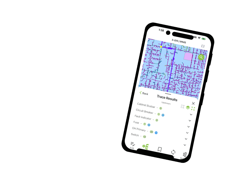
3-GIS | MIMS

Bring field activity back into the GIS workflows Productivity governs, giving crews a mobile environment for inspections, redlining, tracing, assignments, and asset updates that return to enterprise records.
3-GIS | MIMS

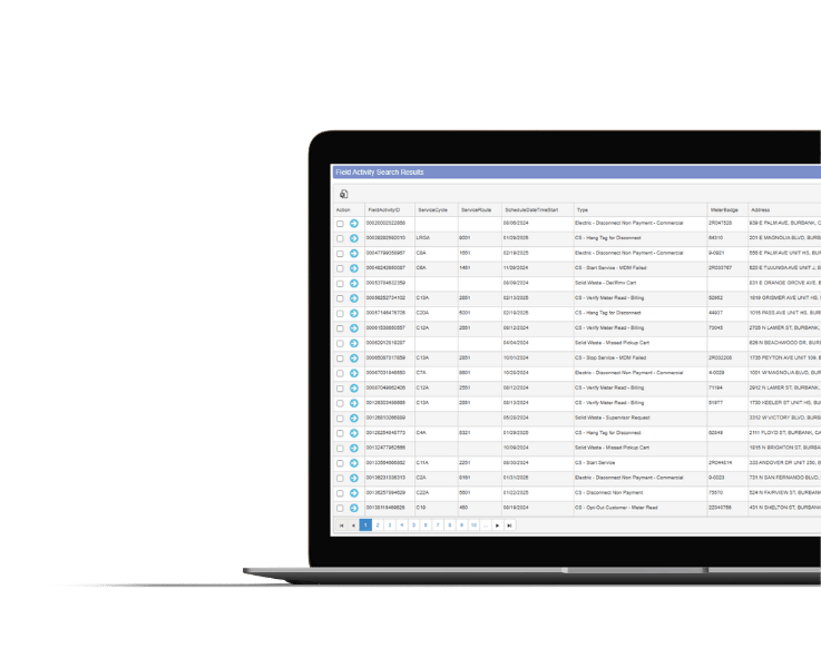
3-GIS | Lifecycle

Turn inspection findings, defects, and maintenance needs into planned work with tools that connect asset condition, scheduling, execution, and closeout.
3-GIS | Lifecycle

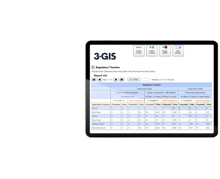
3-GIS | SPANS

Keep joint use and attachment records connected to utility workflows with tools built for clearer tracking, cleaner data, and stronger pole asset coordination.
3-GIS | SPANS
 

3-GIS | Productivity FAQs

Related resources

Keep exploring

Explore Utility Network workflows, GIS automation, data quality, and connected utility operations across the 3-GIS utilities portfolio.
3-GIS | Productivity Image
Utilities | Product spec sheet 3-GIS | Productivity 3-GIS | Productivity simplifies Utility Network editing, analysis, tracing, subnetwork management, and commissioning with guided tasks and automated error checking.
Utilities | eBook The top 4 must-haves for Utility Network extensions Extending the Esri Utility Network takes more than custom code. This guide outlines key requirements for building extensions that protect data quality, performance, and long-term usability.

Let's connect

Simplify work within the Utility Network

Ready to reduce manual administration and take greater control of Utility
Network operations? Let’s talk.

Connect with us