3-GIS | Expansion Kit

Adapt 3-GIS | Web to your operations

3-GIS | Expansion Kit enables teams to create custom tools and integrations directly within 3-GIS | Web, extending the application to support specialized workflows and operational requirements. Instead of managing those processes in disconnected systems, teams can bring them into the same environment they use to manage network data and daily operations.

Contact us
Explore 3-GIS | Web
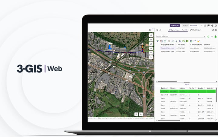
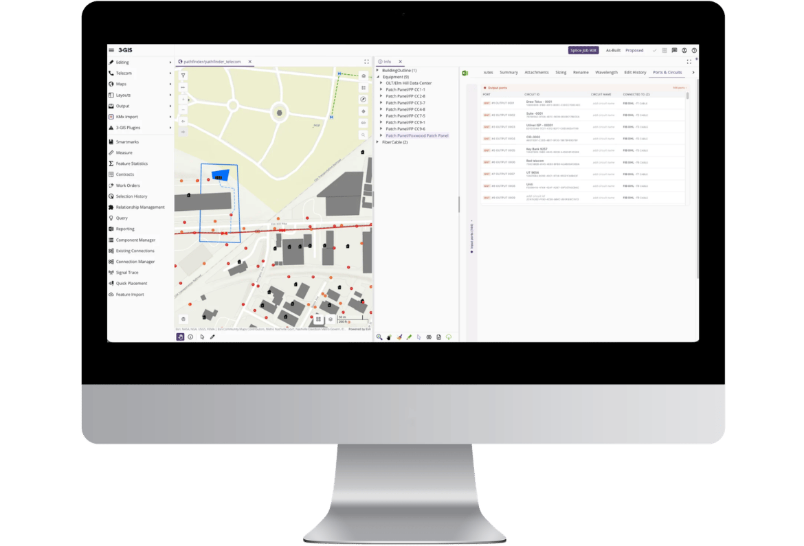
3-GIS | Expansion Kit on monitor

3-GIS | Expansion Kit at a glance

3-GIS | Expansion Kit creates a governed way to add specialized capabilities for telecom network management workflows directly inside 3-GIS | Web. Teams can tailor the application to complex integration and operational requirements while reducing one-off customization, disconnected tools, and upgrade risk.

A cleaner way to customize

Bring structure to custom development

Enterprise telecom workflows often depend on customer-specific systems, data models, and operational rules. 3-GIS | Expansion Kit gives those specialized requirements a place to live inside 3-GIS | Web with clear boundaries for development, deployment, and long-term ownership.

Man and woman looking at laptop screen

Built for controlled flexibility

3-GIS | Expansion Kit gives teams a structured way to extend 3-GIS | Web for specialized telecom workflows without turning every unique requirement into a one-off workaround.

Native tools
Governed access
Controlled deployment
Clear ownership
Work inside 3-GIS | Web

Add custom tools, buttons, dialogs, and actions directly inside 3-GIS | Web so users can complete specialized workflows without leaving the application.

Control the connection

3-GIS | Expansion Kit extensions interact with 3-GIS | Web through controlled extension points, giving custom functionality access to what it needs without opening the core code.

Deploy without disruption

Extensions are packaged as Expansion Packs and deployed alongside 3-GIS | Web, allowing multiple custom capabilities to run in the same licensed environment.

Reduce support ambiguity

Clear boundaries between 3-GIS, customer, and partner-developed functionality make it easier to understand who owns development, updates, and long-term maintenance. You own what you build.

Where extensions add value

3-GIS | Expansion Kit is designed for custom tools that depend on the map, selected network features, records, or user actions within 3-GIS | Web. Keeping those capabilities inside the application allows teams to complete specialized tasks without leaving their network data or established workflows behind.

1 icon


Unique operating models

Use 3-GIS | Expansion Kit when business rules, network data, or internal processes are specific to how your organization plans, manages, or activates services.

2 icon


Connected system workflows

Bring external system actions into 3-GIS | Web when users need to work from network data without switching tools or duplicating effort.

3 icon


Native workflow extensions

Create in-app experiences for tools that need direct access to maps, network data, selected features, or other 3-GIS | Web interactions.

Related products

Explore the 3-GIS ecosystem

3-GIS | Diagramming extends the value of your network data by turning managed connectivity into focused visuals that support review, communication, and decision-making.

3-GIS | Web

Manage telecom network data, maps, and workflows in the browser-based application where 3-GIS | Expansion Kit extensions operate.
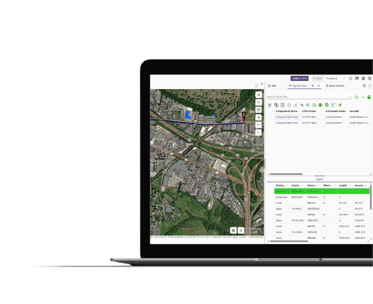
3-GIS | Web

3-GIS | Admin

Configure roles, permissions, and network data across 3-GIS | Web to create a consistent foundation for custom tools.
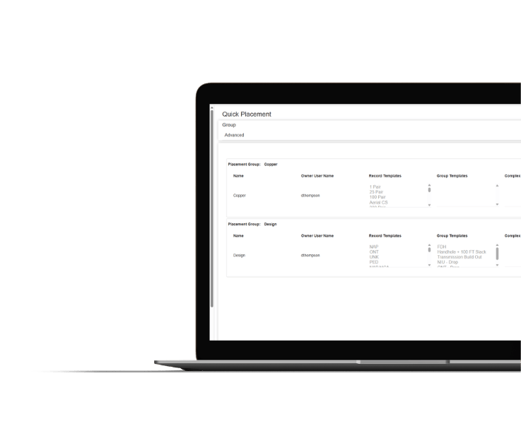
3-GIS | Admin

3-GIS | Web

Enterprise APIs

Connect 3-GIS | Web network data with business systems, operational workflows, and internal tools through governed API access.
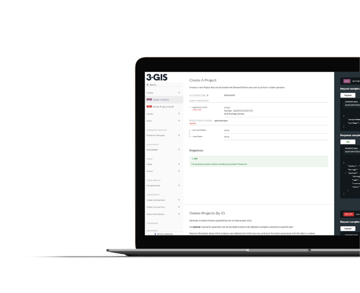
3-GIS | Web Enterprise APIs
 

3-GIS | Expansion Kit FAQs

Related resources

Keep exploring

Explore resources on 3-GIS | Web and the workflows that connect network data to planning, operations, and field activity.
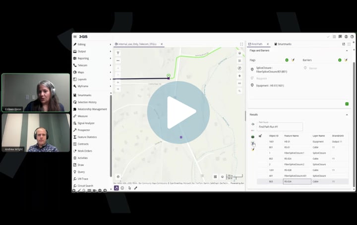
Operationalizing Esri's Telecom Domain Network Image
Telecom | Webinar Operationalizing Esri's Telecom Domain Network See what operationalizing Esri’s Telecom Domain Network looks like in practice, from maintaining detailed connectivity and tracing to preserving familiar telecom workflows as network models evolve.
3-GIS | Web Image
Telecom | Product spec sheet 3-GIS | Web 3-GIS | Web brings telecom network data, GIS editing, signal tracing, project tracking, and enterprise collaboration together in one browser-based system.
3-GIS | Web: Copper modeling Image
Telecom | Product spec sheet 3-GIS | Web: Copper modeling 3-GIS | Web supports copper and fiber network management in one system, giving teams a clearer view of assets, connectivity, and network changes.

Customize with confidence

Bring the right workflow into 3-GIS | Web

Custom tools and integrations can create the most value when they work where network decisions already happen. Let’s talk about what your team needs to bring into 3-GIS | Web. 

Contact us
Explore 3-GIS | Web