3-GIS | Mobile
Bring network data into the field
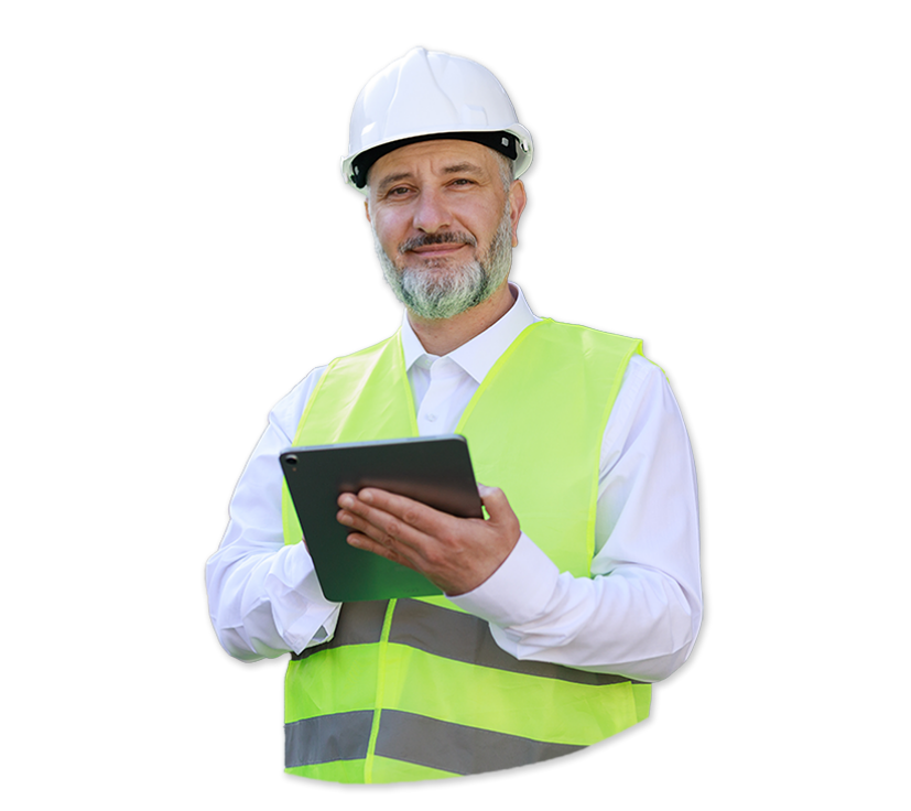
3-GIS | Mobile gives telecom field teams direct access to network records, asset details, maps, tracing, reports, and field data capture tools from a mobile device. Crews can view, edit, create, redline, and update network features where the work is happening, ensuring records better reflect what exists in the real world.
Mobile at a glance
3-GIS | Mobile gives field crews access to telecom network data from the devices they use in the field. Teams can view records, capture updates, redline data, attach photos, run reports, trace signals, locate faults, and sync completed work back to 3-GIS | Web.
By keeping field activity connected to the network record, 3-GIS | Mobile reduces manual handoffs and gives office teams a more current view of work happening in the field.
Field-to-office alignment
Keep records closer to reality
Fiber networks change in the field before they change in the system of record. 3-GIS | Mobile closes that gap by giving crews a simpler way to capture changes, updates, and redlines, while keeping field activity connected to the system of record.
Key capabilities
Field tools for fiber teams
3-GIS | Mobile gives field users practical tools for the telecom work that happens away from the office, from surveys and inspections to troubleshooting, restoration, and as-built updates.
Network context
Give crews mobile access to telecom network data, asset details, connectivity, maps, reports, and field-ready context.
Field edits
Enable feature creation, field edits, redlines, photo attachments, and attribute updates.Troubleshooting tools
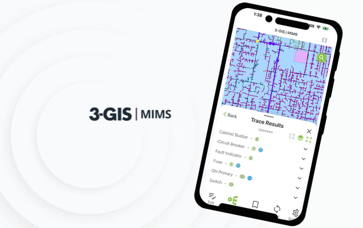
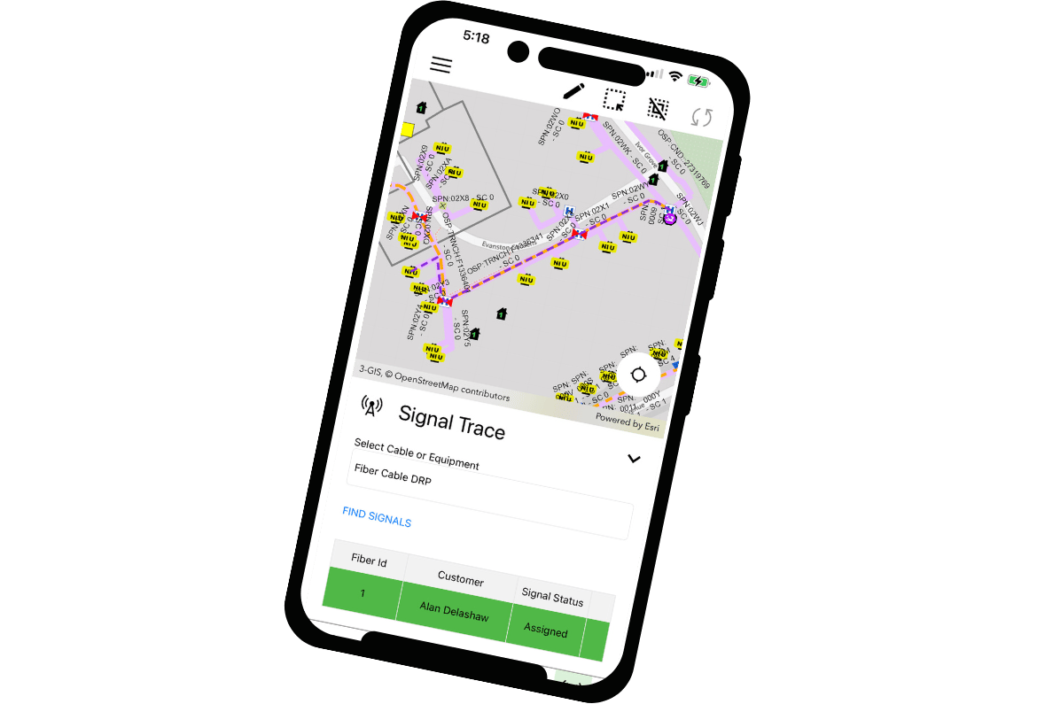
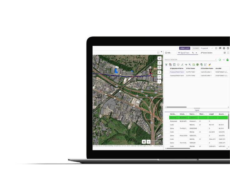
Make it easier for field teams to trace signals, review splice and panel reports, understand connectivity, and locate outage or fault areas.Connected records
Continue field work when connectivity is limited, then synchronize updates back to 3-GIS | Web once a connection is available.
Why 3-GIS
More than a mobile map
3-GIS | Mobile gives telecom teams the network intelligence, update tools, and synchronization needed to make the field an active part of the system of record.
Fewer record gaps
When updates move directly from the field into the network record, teams reduce the lag that often turns construction, repair, and restoration work into cleanup later.
Continuity in the field
Crews can keep work moving when connectivity is limited, then return updates to the broader network environment when conditions allow.
Less field friction
A focused mobile experience keeps technicians closer to the task at hand, reducing noise and making network data easier to use where the work happens.
Connected solutions
How Mobile connects to the system of record
3-GIS | Mobile extends 3-GIS | Web into the field to empower office and field teams to work from a more current, connected view of the network.
3-GIS | Web
Core network management workspace
3-GIS | Web is where office teams manage, edit, analyze, and work with the network. 3-GIS | Mobile extends that network record into the field and updates flow back to office users.
3-GIS | Admin
Configuration and governance
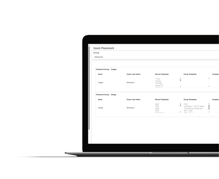
3-GIS | Admin configures mobile users, permissions, tools, data visibility, access controls, and business rules so field teams see the right information for their work.
Enterprise APIs
Extension and integration
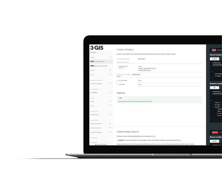
Extend 3-GIS | Web data into connected systems and workflows with governed API access built for telecom operations.
3-GIS | Mobile FAQs
-
What is 3-GIS | Mobile?
3-GIS | Mobile is the field application for 3-GIS | Web. Users can view asset details, trace signals, run reports, capture field updates, and sync activity back to the central network record.
-
Who uses 3-GIS | Mobile?
3-GIS | Mobile is built for telecom field crews, construction teams, inspection teams, technicians, restoration teams, outage response teams, operations teams, and GIS/network teams that need field updates to stay connected to the central network record.
-
What can crews do with 3-GIS | Mobile?
Crews can view network data, edit features, create features, redline network data, update asset status, attach photos, update attributes, search for assets, run reports, trace signals, access splice and panel reports, and locate faults or outage areas.
-
What devices does 3-GIS | Mobile support?
3-GIS | Mobile is compatible with Android and iOS devices.
-
Can 3-GIS | Mobile work offline?
Yes. 3-GIS | Mobile supports offline and disconnected workflows with local data access and synchronization when users reconnect. This keeps field teams working when connectivity is limited.
-
How does 3-GIS | Mobile support as-builts?
3-GIS | Mobile enables construction and field teams to capture updates, redlines, photos, attributes, and status changes closer to the work. That reduces reliance on paper notes, screenshots, manual handoffs, and delayed updates after construction or restoration activity.
-
How does 3-GIS | Mobile fit within 3-GIS | Web?
3-GIS | Web is the primary network management environment. 3-GIS | Mobile extends network access into the field. Field updates captured in Mobile can sync back into the 3-GIS environment so office and field users stay better aligned.
-
How does 3-GIS | Admin support 3-GIS | Mobile?
3-GIS | Admin configures Mobile users, permissions, tool access, data visibility, and business rules. This gives field users the right level of access without exposing more network data or tools than they need.