Utility network & GIS management
Make utility GIS work smarter
From editing and tracing to quality control, work creation, map production, and data governance, 3-GIS turns complex network data into a stronger foundation for operations, planning, compliance, and field work for electric and gas utility teams.
Utility GIS at a glance
3-GIS solutions give electric and gas utility teams practical tools for managing GIS data, Utility Network workflows, and the daily work required to maintain accurate, connected, and usable network records. With stronger workflows around editing, validation, tracing, and field activity, teams can reduce manual effort and get more long-term value from the Esri Utility Network.
Supporting connected workflows
Manage the work behind the map
The 3-GIS utility portfolio gives electric and gas utility teams purpose-built tools for maintaining accurate, connected, and usable network data across daily GIS workflows.
Faster editing workflows
Simplify work for GIS users with common ArcGIS Pro and Utility Network tasks using fewer repetitive steps and more consistent results.
Quality control
Make network data cleaner with workflows that help reduce errors, improve consistency, and strengthen data confidence.
Tracing & analysis
Give teams a better understanding of network relationships, connectivity, affected areas, and operational context with more efficient tracing and analysis support.
Edit traceability
Improve visibility into edits, changes, workflow history, and accountability so GIS work is easier to govern and defend.
Map production
Create repeatable map outputs and documentation that support field work, planning, operations, and internal communication.
Workflow automation
Reduce manual effort in recurring GIS processes so teams can work faster without sacrificing data quality or control.
Why 3-GIS
Beyond Utility Network migration
Utility Network success does not end when migration is complete. 3-GIS utility solutions give electric and gas utilities the capabilities to turn that investment into daily operational value, with workflows for maintaining data, supporting users, improving quality, and making network information more useful across operations.
Built for Utility Network work
Power the real Esri Utility Network workflows electric and gas GIS teams manage every day.
Stronger data governance
Improve quality control, traceability, accountability, and workflow consistency around the network data your utility depends on.
Less manual effort
Reduce repeated clicks, manual steps, and specialized workarounds that slow down high-volume work for GIS teams.
Better operational context
Give operations, planning, field, and compliance teams more confidence in the network data behind their decisions.
Who this is for
Built for utility GIS teams
Utility Network and GIS management affects the teams maintaining network data and the teams relying on that data to operate safely and efficiently.
Project stakeholders
Improve governance, consistency, scalability, and user productivity as Utility Network data becomes more operationally important.
GIS users
Provide editors, analysts, technicians, and data stewards with tools that make daily editing, tracing, QA/QC, and map production easier to complete.
UN administrators
Empower Utility Network administrators with more consistent workflows, traceability, quality control, and repeatable processes around complex network data.
Operations teams
Give operations teams more trustworthy network data for planning work, understanding system context, supporting crews, and making decisions.
Connected utility solutions
Powering utility GIS management
Explore how 3-GIS connects GIS productivity, field updates, operational work, and specialized utility workflows.
3-GIS | Productivity
Operationalize the Utility Network.
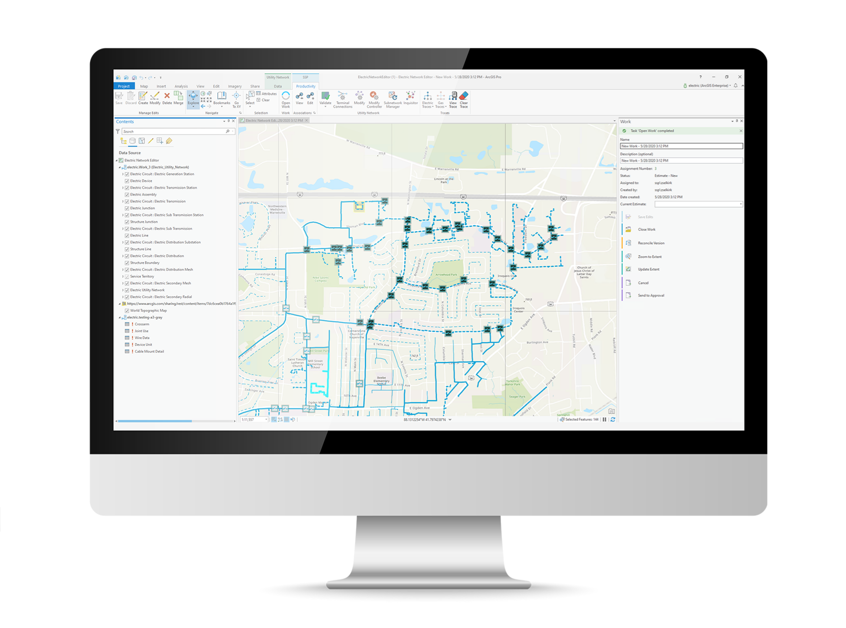
3-GIS | Productivity gives utility GIS teams the ability to work faster and more consistently in the Esri Utility Network with tools for editing, automation, tracing, validation, versioning, and map production.
3-GIS | MIMS
Mobile field updates and inspections.
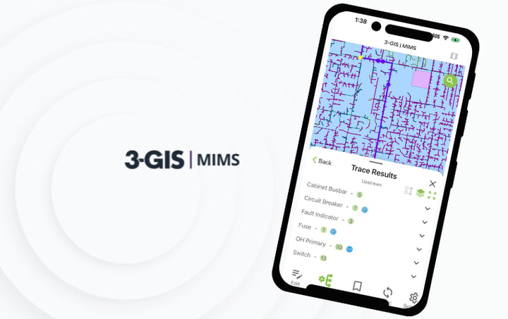
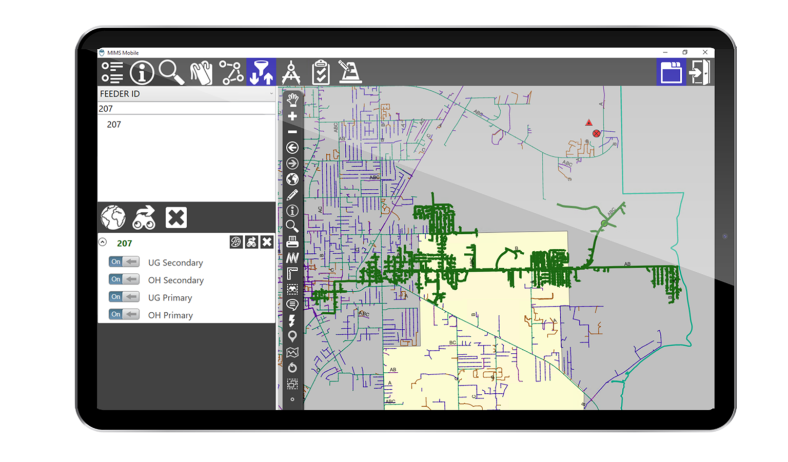
3-GIS | MIMS provides essential tools for mobile field work when inspections, redlines, photos, notes, and asset updates need to move from the field back into GIS and related enterprise records.
3-GIS | Lifecycle
Operational visibility and work management.
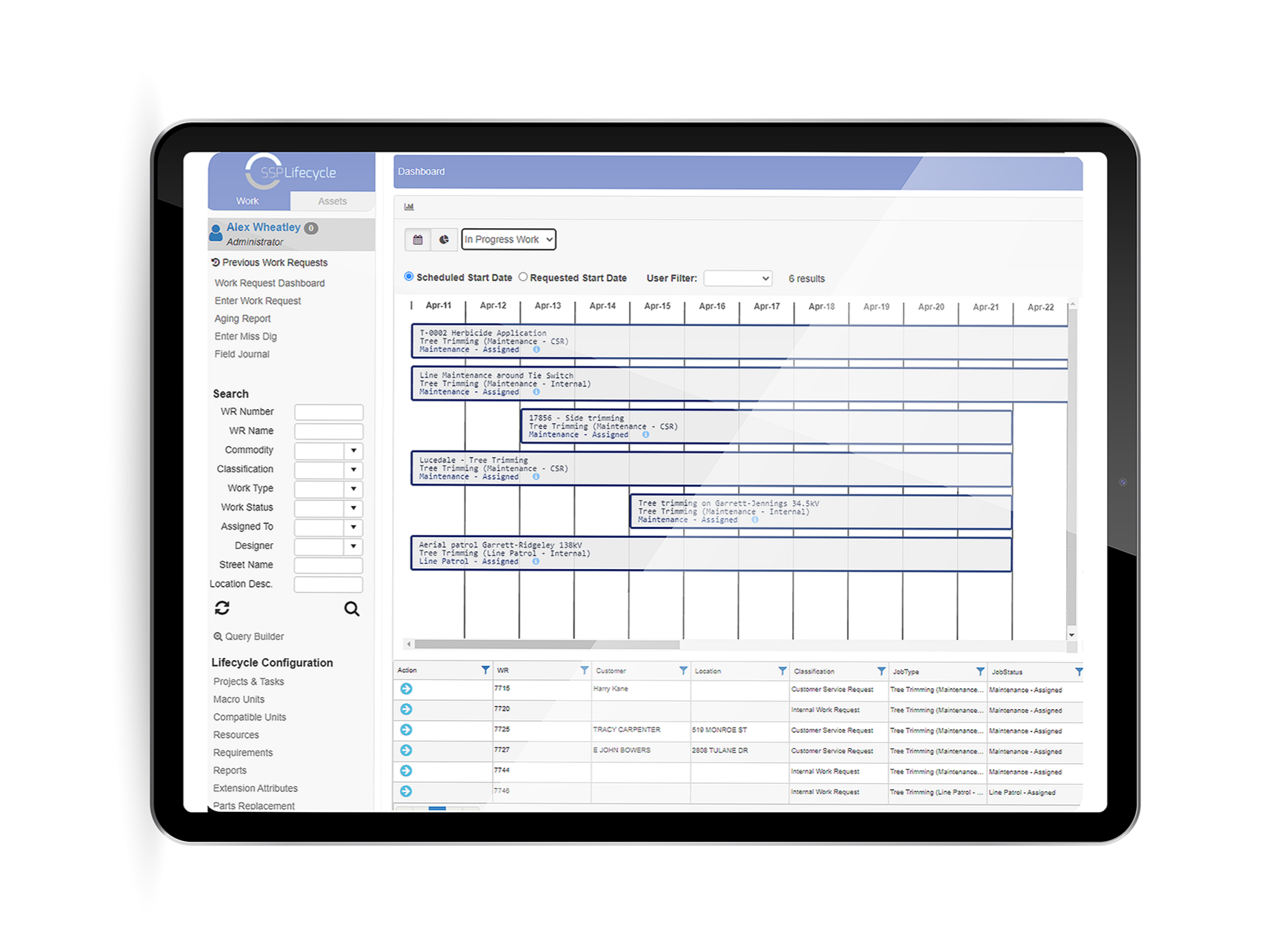
3-GIS | Lifecycle accelerates operational workflows that depend on trustworthy GIS data, including planning, assignment, field execution, status tracking, follow-up, and closeout.
Utility Network & GIS management FAQs
-
What is Utility Network management?
Utility Network management is the ongoing work of maintaining, editing, validating, analyzing, and using connected electric or gas network data in the Esri Utility Network. It includes the daily workflows that keep network data accurate, traceable, and useful for planning, operations, compliance, and field work.
-
Who needs utility GIS management?
Utility GIS management is useful for electric utilities, gas utilities, municipalities, cooperatives, GIS managers, GIS analysts, GIS editors, Utility Network administrators, data stewards, GIS technicians, operations teams, and organizations using or migrating to the Esri Utility Network.
-
What problems does 3-GIS solve for utility GIS teams?
3-GIS enables teams to manage complex network data faster, more consistently, and with greater confidence by reducing the manual effort, repeated steps, workflow inconsistency, and data quality issues that can make Utility Network work difficult to scale.
-
Why does data quality matter?
Utility GIS data informs decisions across operations, planning, compliance, field work, reporting, and customer response. When network data is incomplete, inconsistent, or difficult to trust, downstream teams may face greater risk, slower work, and weaker operational visibility.
-
Which 3-GIS product supports Utility Network and GIS management?
3-GIS | Productivity is the primary product for Utility Network and GIS management. Productivity enhances ArcGIS Pro with focused tools that enable utility GIS teams to improve editing, automation, validation, tracing, versioning, map production, and data quality workflows.
Keep exploring
Explore related utility resources, product information, and solution content for Utility Network workflows, GIS data quality, field updates, operational visibility, and utility asset data.
Let’s connect
Make utility GIS more useful
If complex Utility Network workflows, manual GIS processes, or data quality issues are slowing your team down, connect with us to discuss how your utility can manage network data with more confidence.