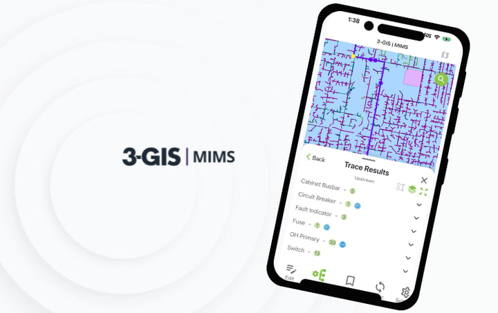

3-GIS | MIMS
Connect utility field work to GIS
3-GIS | MIMS gives electric and gas utility crews a configurable mobile GIS environment for inspections, tracing, redlining, assignments, asset updates, and field documentation. Built on the Esri ArcGIS platform, MIMS extends governed GIS workflows into the field while keeping field and office teams aligned.
MIMS at a glance
3-GIS | MIMS is a mobile GIS and field execution platform for electric and gas utilities. It gives crews the tools to inspect assets, document conditions, run configured traces, capture redlines, manage assignments, and sync field activity back to enterprise systems in connected and disconnected environments.
Mobile utility GIS
Field work without the disconnect
Utility field teams are often slowed down by paper forms, disconnected apps, outdated maps, repeated data entry, and delayed updates. 3-GIS | MIMS brings maps, asset details, inspections, assignments, tracing, and redlining into one mobile experience, giving crews the context to complete work with fewer manual handoffs.
Field workflow support
More than mobile inspections
3-GIS | MIMS connects utility field activity to the network record, giving field and office teams a clearer way to manage inspections, updates, assignments, and operational response.
Standardize field capture
Standardize asset-based inspections, location-based observations, patrols, surveys, and condition checks with configurable workflows that guide consistent data capture.
Analyze in the field
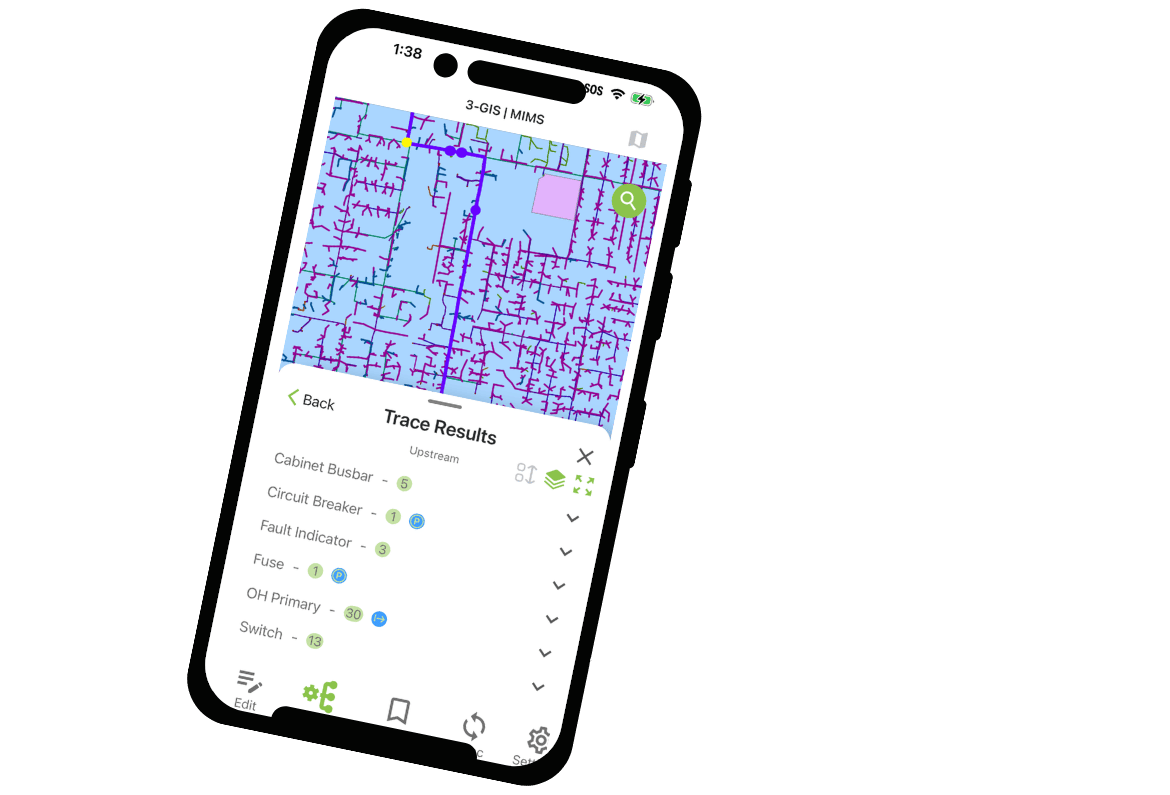
Give crews field-ready tracing tools to understand connectivity, manage isolation workflows, and act with confidence using configured network analysis.Connect findings to work
Turn field findings, failed inspections, and operational needs into assignments crews can view, complete, and sync from the same mobile GIS environment.Keep records moving
Capture redlines, photos, notes, defects, as-built details, and asset updates in the field, then synchronize information back to enterprise systems.
Key features
Tools for utility crews
3-GIS | MIMS gives field teams practical, GIS-connected tools for the work that keeps utility networks safe, accurate, and operational. Each capability reduces disconnected processes while keeping field activity tied to enterprise records.
Structured redlining
Capture map corrections, field sketches, as-built notes, and observations as GIS-connected records with attributes, attachments, and workflow context.
Controlled synchronization
Manage connected and disconnected field work with configurable data delivery and synchronization between mobile users and enterprise systems.
Centralized configuration
Configure workflows, tools, user experiences, access rules, and synchronization behavior centrally so teams can standardize field execution at scale.
Customer success story
Turning inspections into action
45,000+
Facilities managed through GIS-based inspection and repair workflows.
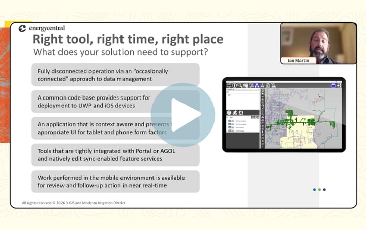
See how Modesto Irrigation District connected GIS-based mobile inspections to repair assignments, helping defects move from field documentation to follow-up work without manual handoffs or disconnected systems.
Connected utility solutions
Extend field workflows
3-GIS | MIMS drives mobile field execution across utility operations. When paired with complementary 3-GIS solutions, field activity informs Utility Network workflows, operational work management, and broader asset lifecycle processes.
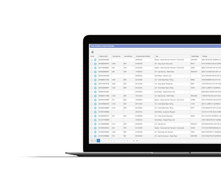
3-GIS | Productivity
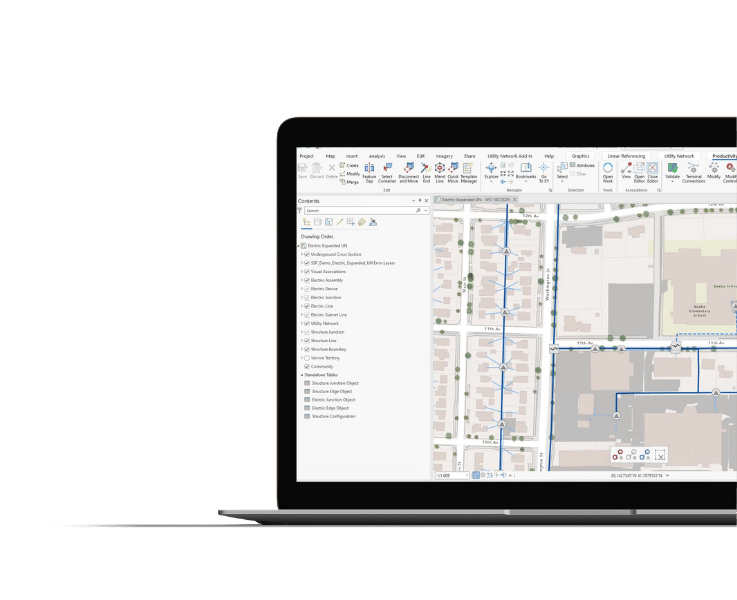
Extend the value of MIMS by turning field updates into governed Utility Network workflows, including editing, validation, tracing, versioning, and data quality management in ArcGIS Pro.
3-GIS | Lifecycle
Turn field findings into managed operational work, creating visibility from inspection, defect, and maintenance capture through execution and closeout.
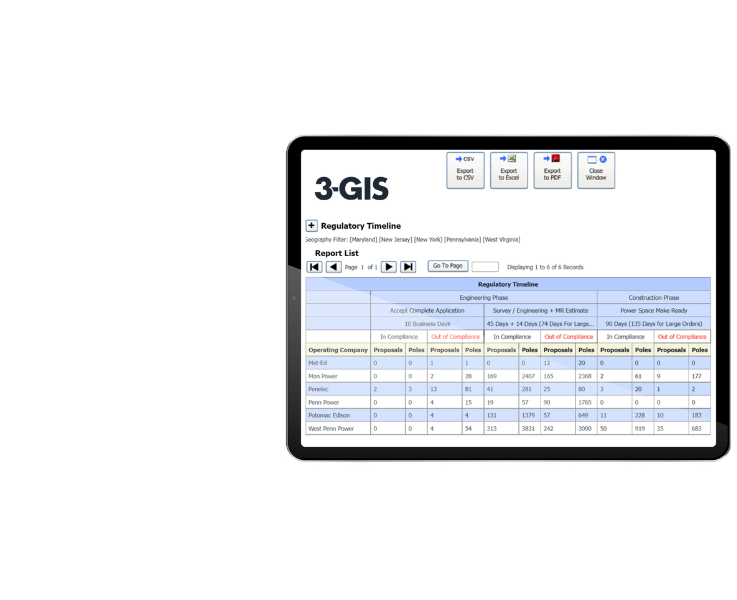
3-GIS | SPANS
Track joint use activity, third-party attachments, and pole-related records in a structured environment that keeps field work connected to utility asset data.
3-GIS | MIMS FAQs
-
Who uses 3-GIS | MIMS?
3-GIS | MIMS is built for electric and gas utility field crews, supervisors, GIS teams, operations teams, and compliance teams that perform, document, and manage field work with GIS context. It applies to inspections, patrols, surveys, outage response, asset updates, redlining, assignments, and other mobile utility workflows.
-
What field work does it support?
3-GIS | MIMS covers utility workflows such as asset inspections, patrols, surveys, condition checks, map corrections, redlining, as-built documentation, photo and note capture, defect documentation, damage assessment, outage response, vegetation management, isolation workflows, assignments, and network tracing.
-
Can crews work offline with 3-GIS | MIMS?
Yes. 3-GIS | MIMS gives crews access to configured maps, asset data, workflows, inspections, and tools in connected and disconnected environments. Field updates synchronize back to enterprise GIS and related systems when connectivity is available.
-
How does 3-GIS | MIMS handle tracing?
3-GIS | MIMS brings field-ready network tracing to the map, giving crews the connectivity and operational context they need in the field. Utilities can expose configured trace workflows to mobile users for analysis, isolation, response, and verification activities without requiring crews to navigate complex back-office tools.
-
How does 3-GIS | MIMS fit with other 3-GIS utilities products?
3-GIS | MIMS manages mobile field execution. 3-GIS | Productivity manages GIS and Utility Network workflows, 3-GIS | Lifecycle manages operational work, and 3-GIS | SPANS manages joint use. Each product can stand alone while contributing to broader utility network management.
-
What platforms does 3-GIS | MIMS run on?
3-GIS | MIMS is a mobile application that runs on iOS and Windows devices.
Keep exploring
Explore utility field operations, mobile GIS, inspections, and connected workflows across the 3-GIS utilities portfolio.