Fiber network planning & design

Design networks ready to build

Plan and design fiber networks with greater accuracy, speed, and confidence. By connecting early strategy, route planning, detailed design, GIS data, and handoff workflows, 3-GIS makes it easier for teams to create network plans that are ready for construction, activation, operations, and future growth.

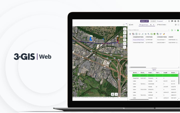
Explore 3-GIS | Web
Contact our team
Fiber_Network_Planning_&_Design_hero

Planning & design at a glance

3-GIS fiber network planning and design solutions move OSP engineers, designers, and planning teams from early network strategy to detailed design with more connected data, reducing manual work, improving design consistency, informing better build decisions, and creating a stronger network record before projects move into construction, activation, and long-term operations.

Planning with better context

See more before you build

Fiber planning decisions shape construction costs, material needs, permitting, labor requirements, service timelines, and future network performance. 3-GIS brings GIS data, network records, design standards, and field context into the planning and design process earlier.

alt_route_teal


Route planning

Evaluate routes, service areas, existing assets, build constraints, and deployment opportunities before capital is committed.

polyline_teal


OSP design

Manage detailed fiber layouts, asset placement, structures, equipment, cables, routes, and connectivity in a GIS-based environment.

layers_teal


GIS data layers

Use internally sourced and public data layers such as parcels, rights-of-way, demographics, coverage areas, constraints, and environmental context to inform decision-making.

Hub icon


Network modeling

Model fiber routes, network equipment, structures, splice points, strand-level detail, and connectivity in a way that carries forward into construction, documentation, operations, and future network changes.

rule_settings_teal


Design standards

Improve consistency across regions, teams, and projects with configurable workflows, data standards, and repeatable design practices.

Published icon


Cleaner handoffs

Move planning and design data more smoothly into construction, field work, as-builts, activation, and operations.

Why 3-GIS

Start with data that lasts

Planning and design should not create disposable project files. 3-GIS enables teams to build a usable network record from the beginning, allowing design decisions to continue supporting construction, operations, maintenance, and future expansion.

settings_input_component_teal


Detailed network modeling

Model fiber networks at the level of detail complex telecom operations require, from wavelengths running through individual strands to the racks, cards, slots, and chassis that define equipment relationships.

rule_folder_teal


Better build decisions

Identify constraints, estimate material needs, evaluate routes, and make smarter decisions before budget, labor, and construction risks escalate.

cycle_teal


Lifecycle continuity

Keep planning and design data useful after handoff, so construction, activation, maintenance, and operations can build from the same foundation.

rocket_launch_teal


Scalable deployment

Manage greenfield builds, brownfield expansion, multi-phase deployments, and large, evolving fiber networks across markets or regions.

Who this is for

Built for deployment decisions

Fiber planning and design affects more than engineering. 3-GIS enables leaders, planners, designers, and operations teams to work from better network context before projects move downstream.

Stakeholders
Planners
Designers
Operations
Fiber_Network_Planning_&_Design__hover_swap_module_Stakeholders (2)
 
Deployment stakeholders

Give leaders a better understanding of deployment costs, build timelines, service-area readiness, material needs, labor constraints, and revenue timing.

Fiber_Network_Planning_&_Design__hover_swap_module_Planners (1)
 
Network planners

Manage early route evaluation, service-area analysis, constraint review, existing asset visibility, and expansion strategy.

Fiber_Network_Planning_&_Design__hover_swap_module_Designers (1)
 
OSP designers

Equip OSP engineers and designers with tools to create accurate, constructible design data in less time. Generate and define routes automatically, pull from configurable materials catalogs, and record splicing details down to the tray.

Fiber_Network_Planning_&_Design__hover_swap_module_Operations (1)
 
Operations teams

Preserve the design decisions, field updates, and network changes operations teams need for as-builts, maintenance, troubleshooting, and future growth.  

Connected telecom solutions

Powering fiber planning & design

Explore how 3-GIS connects planning, design, network records, field execution, visualization, and long-term operations.

3-GIS | Web

Core network management and design platform.

3-GIS | Web facilitates GIS-based fiber network planning, detailed design, asset modeling, connectivity, work packets, project tracking, and the network record that carries forward after design.
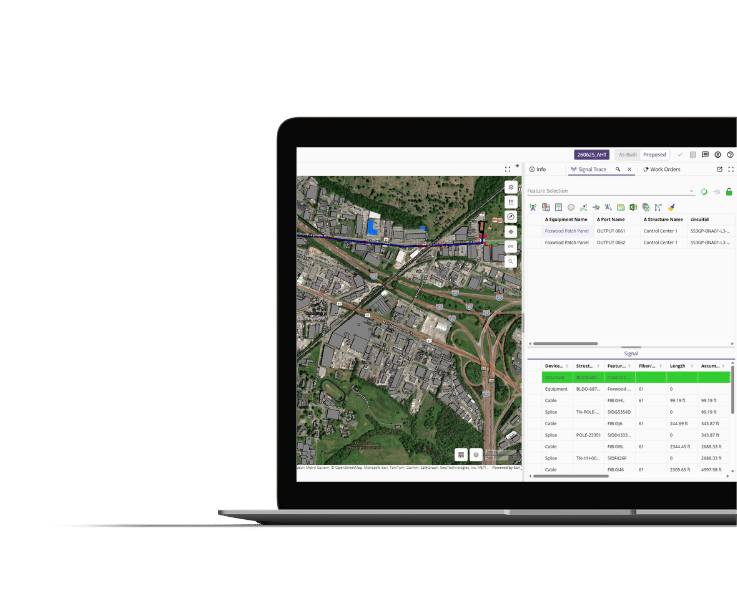
Circuit information in 3-GIS | Web displayed on computer screen

3-GIS | Prospector

Planning and market evaluation inside Web.

3-GIS | Prospector powers early planning workflows by making it easier for teams to evaluate opportunities, routes, service areas, and expansion strategies before detailed design begins.
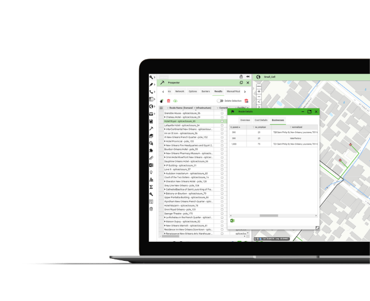
Circuit information in 3-GIS | Web displayed on computer screen

3-GIS | Diagramming

Connectivity visualization outside Web.

3-GIS | Diagramming turns network data into exportable visualizations that make connectivity details easier to understand.
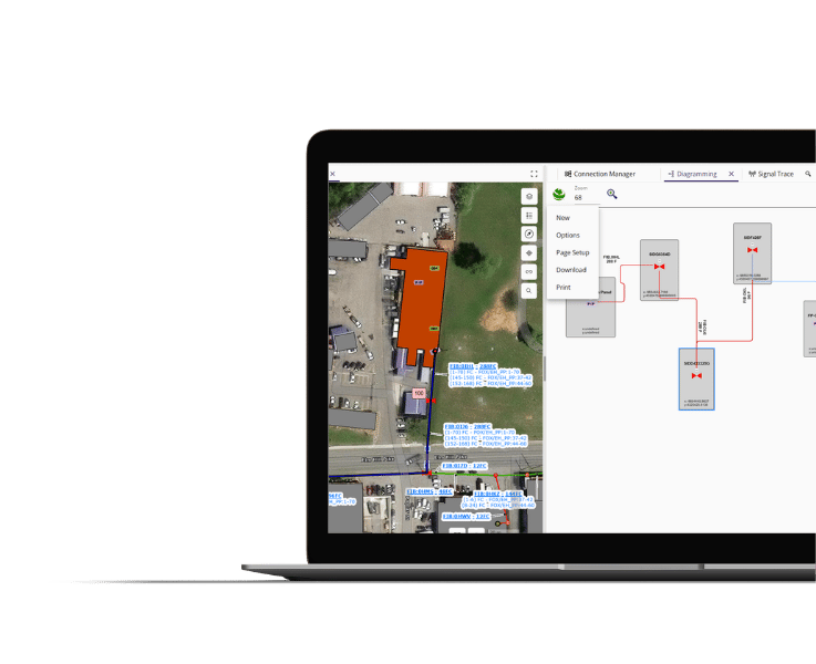
Circuit information in 3-GIS | Web displayed on computer screen

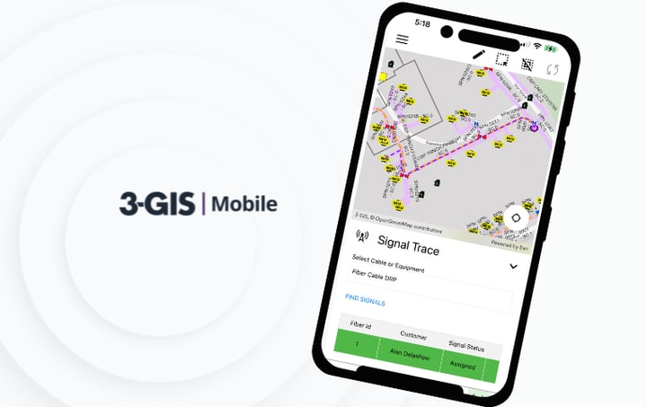
3-GIS | Mobile

Field verification and updates.

3-GIS | Mobile brings field verification into the planning and design process, giving teams more current field context to work from.

Circuit information in 3-GIS | Web displayed on computer screen

Customer success story

Planning fiber at scale

14,000
route miles

Fiber network scale managed through a more connected network record.

See how FiberLight used 3-GIS | Prospector to improve routing and turn network data into better planning, permitting, construction, and revenue decisions.


Fiber network planning & design FAQs

Related resources

Keep exploring

Explore resources on fiber planning, OSP design, and telecom network management.
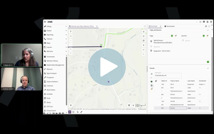
3-GIS | Mobile Image
Telecom | Product spec sheet 3-GIS | Mobile 3-GIS | Mobile gives field teams access to telecom network data from iOS and Android devices, supporting redlines, inspections, outage tracing, and field updates.
3-GIS | Web Image
Telecom | Product spec sheet 3-GIS | Web 3-GIS | Web brings telecom network data, GIS editing, signal tracing, project tracking, and enterprise collaboration together in one browser-based system.
3-GIS | Diagramming Image
Telecom | Product spec sheet 3-GIS | Diagramming 3-GIS | Diagramming turns network data into configurable visual outputs, helping teams isolate details, understand connectivity, and communicate network changes more clearly.

Need stronger design context?

Plan beyond the build

Give your teams stronger network context before projects move downstream. Contact us to discuss how we can support your fiber planning, design, and deployment needs. 

Connect with us