
3-GIS | Lifecycle
Coordinate utility work from start to finish
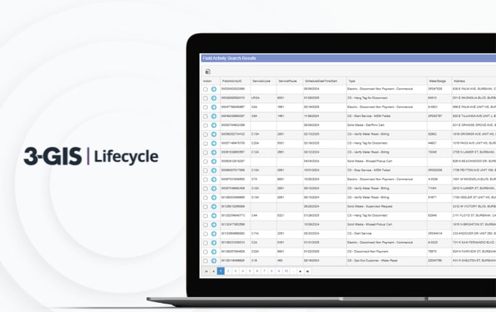
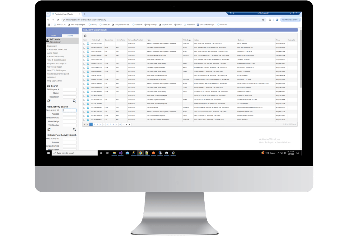
3-GIS | Lifecycle connects work, assets, field crews, and enterprise systems in a coordinated workflow. Plan, assign, track, and complete utility work with the visibility and structure needed to reduce the need for manual coordination and to keep operations moving.
Keep utility work moving
3-GIS | Lifecycle gives utilities a structured way to manage work from request to completion, connecting field activity, asset information, and enterprise systems so teams can execute with less manual effort.
Work orchestration
Connect every step of utility work
Utility work rarely happens in one place. 3-GIS | Lifecycle brings assignments, asset information, field updates, and system data into a coordinated workflow so teams can move work forward from request to completion with clearer status, stronger accountability, and less manual follow-up.
Manage work across every stage
3-GIS | Lifecycle brings work planning, field execution, system integration, and lifecycle history into one coordinated process. Utilities can move work forward with clearer ownership, status, and accountability.
Assign work with context
Create, prioritize, and assign work with the asset, location, and status context needed to understand what needs to happen, where, and why before crews mobilize.
Move work forward
Configure workflow steps, approvals, notifications, and job tracking so inspections, maintenance, and service requests progress through a defined process.
Connect field and office
Keep field crews and office teams aligned with real-time work status, updates, and reporting that reflect what is happening across active jobs as conditions change.
Keep systems aligned
Reduce manual reconciliation across utility systems by connecting GIS, ADMS, ERP, EAM, and work data through a single operational layer.
What Lifecycle delivers
Utility work depends on more than task management. 3-GIS | Lifecycle creates the structure, system connection, and work history needed to move operational work forward with greater control.
One path for work
Bring requests, assignments, updates, approvals, and completion tracking into a defined process that keeps work moving from initiation to closeout.
Less manual reconciliation
Connect work and asset information across utility systems so teams spend less time chasing updates, reconciling data, and coordinating between disconnected tools.
Complete operational history
Capture the status, actions, and outcomes tied to utility work so teams have a stronger record for reporting, accountability, and long-term planning.
Related products
Support work across utility operations
3-GIS | Lifecycle coordinates utility work from initiation to completion. Explore related products that support the GIS, field, and operational workflows surrounding that work.
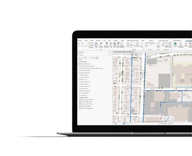
3-GIS | Productivity
Streamline the Utility Network and GIS processes that support operational work, from network updates and tracing to the tasks that keep asset data moving.
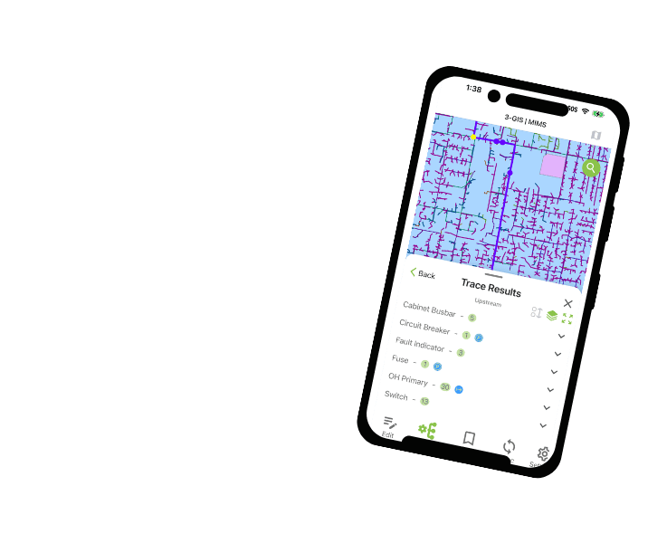
3-GIS | MIMS
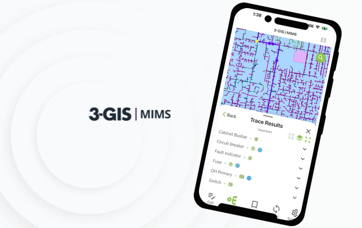
Capture inspections, field activity, and asset updates where work happens so utility teams can maintain stronger visibility from the field to the office.
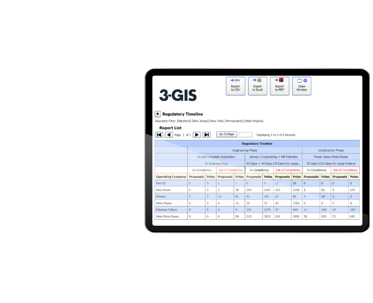
3-GIS | SPANS
Manage third-party attachments, joint use records, and pole-related workflows with tools built to keep attachment data organized, traceable, and connected to utility asset management.
3-GIS | Lifecycle FAQs
-
What does 3-GIS | Lifecycle manage?
3-GIS | Lifecycle manages utility work from initiation to completion, including requests, assignments, status updates, approvals, field activity, and closeout. It connects the work being performed with the assets, teams, and systems involved.
-
Is 3-GIS | Lifecycle an EAM?
3-GIS | Lifecycle can function as a lightweight system of record for utilities that do not need the complexity of a full enterprise asset management system. It can also operate alongside platforms like SAP or Maximo as a system of engagement that drives workflows across connected systems.
-
How does 3-GIS | Lifecycle connect systems?
3-GIS | Lifecycle integrates with systems such as GIS, ADMS, ERP, and EAM to keep work and asset information aligned. By acting as a single operational layer, it minimizes the manual coordination and reconciliation that often happens between disconnected tools.
-
Why use 3-GIS | Lifecycle for utilities?
3-GIS | Lifecycle is purpose-built for utility operations, not generic task management. It gives utilities a structured way to coordinate field and office work, track operational history, support accountability, and maintain visibility across the full work lifecycle.
Strengthen utility work management
Explore resources on utility work management, field-to-office coordination, and connecting asset data with the systems that keep work moving forward.