Telecom asset and inventory management
Know what your network can do
Turn network records into an operational foundation for serviceability, activation, maintenance, expansion, and revenue growth. Document physical assets, logical relationships, inventory details, capacity, and field updates in a structured geographic environment built for complex communications networks.
Inventory at a glance
3-GIS telecom asset and inventory management solutions document, organize, and maintain physical and logical network records. Trusted network data enables teams to plan, design, build, activate, troubleshoot, maintain, and grow the network while understanding available capacity, serviceability, and the services that can be delivered to customers.
Network intelligence
Document more than assets
3-GIS turns telecom asset records into connected network intelligence. Teams can understand where assets are located, how they connect, what they support, and how changes affect the broader network, creating a stronger foundation for planning, design, construction, and operations.
Physical infrastructure
Create a comprehensive view of the physical network, from the assets in the field to the equipment that connects service to customers.
Logical relationships
Understand connectivity at the individual fiber strand level, including how paths continue through splitters and downstream infrastructure.
Asset-level detail
Document the attributes that matter for each asset, from ownership and manufacturer to specifications, installation dates, and custom fields that keep network records relevant across teams and workflows.
Geographic visibility
Map where the network exists today, including infrastructure not yet in service, to identify underutilized assets, plan future connections, and uncover opportunities for revenue growth.
Serviceability context
Use inventory and connectivity records to understand what is built, where capacity exists, and which assets are positioned to support new service opportunities.
Operational history
Track installation details, field changes, maintenance history, asset condition, and updates that affect long-term network performance.
Why 3-GIS
Move from built to billable
Network investment only creates value when teams can locate it, understand it, sell it, activate it, maintain it, and grow from it. 3-GIS moves operators beyond fragmented documentation toward trusted network inventory that supports better revenue and operational decisions.
Authoritative network record
Create a centralized system of record for telecom infrastructure, inventory, connectivity, and operational network data.
Physical + logical network modeling
Model both assets and the relationships that show how those assets support services, customers, and network activity.
Enterprise-scale inventory
Strengthen hybrid, acquired, and expanding networks with detailed records that can grow with the business.
Lifecycle continuity
Carry network data from planning and construction into operations, maintenance, troubleshooting, activation, and future expansion.
We are proud to have replaced the legacy Network Engineer system with the 3-GIS Solution, making us the first in the region to adopt this advanced technology and placing us as pioneers in attracting the latest geospatial technologies. Thank you to 3-GIS for their commitment to innovation and playing a pivotal role in revolutionizing our operational processes and increasing our efficiency.
3-GIS gives us the flexibility to map our network the way that we are building it, not the way that 9/10 people are building it. Of all the tools we have used, 3-GIS has been the most critical piece in tying everything together.
In our quest to lead Denmark’s digital transformation, aligning with the right technology partners is essential. The 3-GIS solution perfectly complements our strategic objectives, marking a significant milestone in our journey to offer Denmark the most reliable and advanced telecom services.
Who this is for
Built for shared network visibility
Accurate inventory data supports more than one department. 3-GIS gives executives, GIS teams, engineering teams, operations teams, and service delivery stakeholders a more reliable view of the network.
Network stakeholders
Inform stakeholders of what has been built, what can be sold, where existing infrastructure can support revenue, and where investment is still needed.
GIS teams
Give GIS teams a structured environment for maintaining network records, asset details, connectivity, data quality, and geographic context.
Network engineers
Equip engineers with connected context for designing, validating, and updating network infrastructure across physical routes, logical relationships, capacity, service paths, and proposed changes.
Operations teams
Strengthen serviceability, troubleshooting, maintenance, activation, outage response, and day-to-day decisions with inventory data teams can trust.
Connected telecom solutions
Powering network inventory
Explore how 3-GIS facilitates asset management, field updates, visualization, governance, and connected workflows.
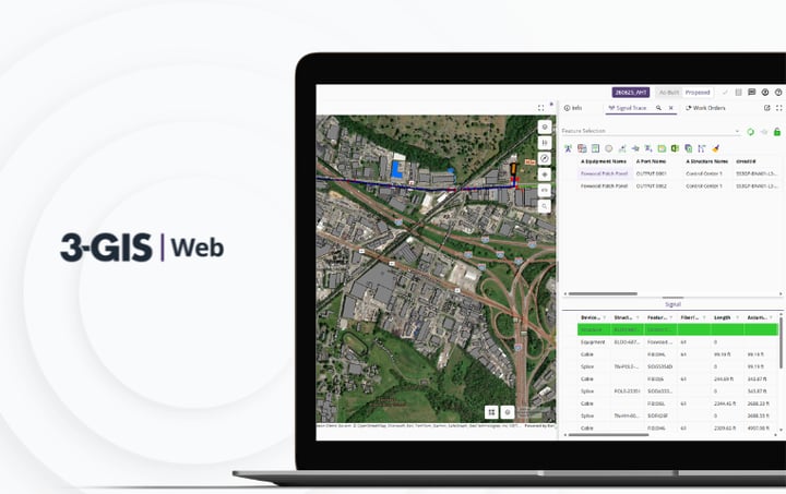
3-GIS | Web
Core network system of record.
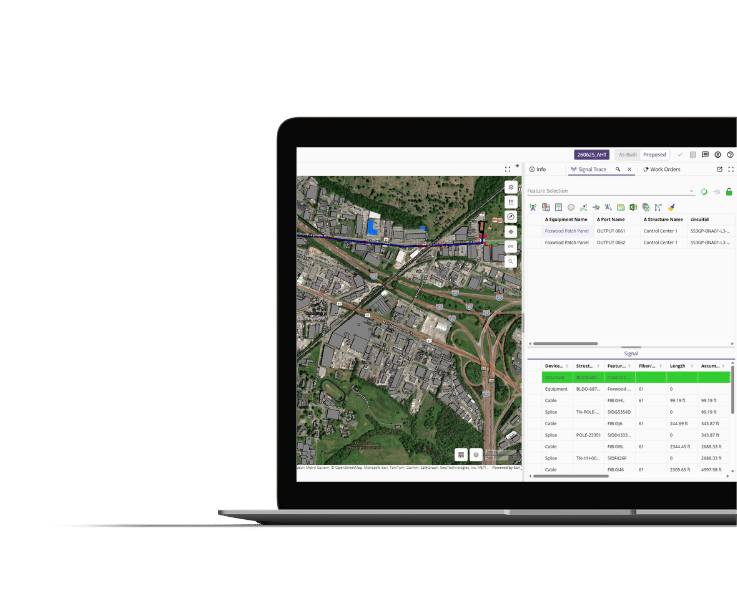
3-GIS | Web is the primary environment for managing telecom assets, inventory records, connectivity, service paths, and operational data across the life of the network.
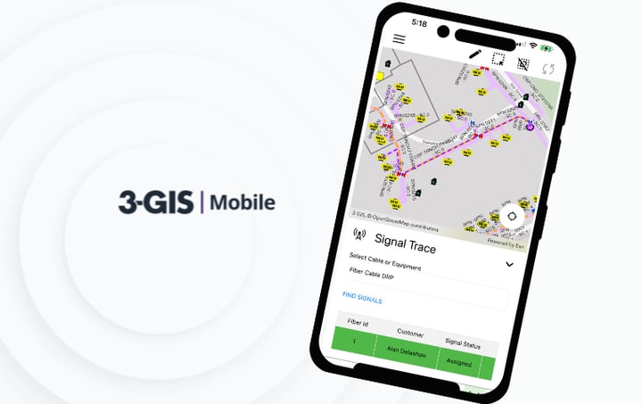
3-GIS | Mobile
Field access and updates.
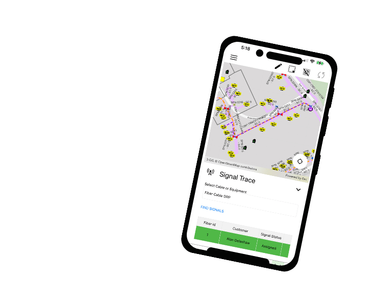
3-GIS | Mobile makes it easier for field teams to access asset details, capture redlines, update records, attach photos, and send field observations back to the network record.
3-GIS | Admin
Enterprise data connection.
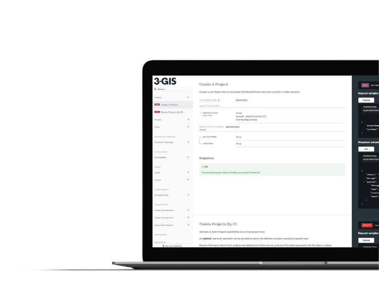
3-GIS | Web Enterprise APIs connect inventory and network records with serviceability, OSS/BSS, CRM, construction, and operational systems.
Customer success story
Managing regional fiber inventory
700 km
Open-access fiber backbone built and operated across Durham Region.
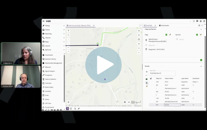
See how Durham OneNet uses 3-GIS | Web to centralize fiber data, model strand-level connectivity, generate lease documentation, and manage regional network records with greater visibility and confidence.
Telecom asset & inventory management FAQs
-
What is telecom inventory management?
Telecom inventory management is the practice of documenting, organizing, and maintaining records for the physical and logical components that make up a communications network. This can include fiber, copper, conduits, poles, cabinets, splice enclosures, handholes, equipment, circuits, and service paths.
-
Why does telecom inventory accuracy matter?
Every network activity depends on reliable inventory data. Planning expansions, designing routes, locating facilities, activating services, troubleshooting outages, performing maintenance, understanding capacity, and avoiding unnecessary construction all require teams to trust the network record.
-
How can 3-GIS facilitate telecom asset and inventory management?
3-GIS replaces fragmented records stored across spreadsheets, CAD drawings, paper maps, static GIS layers, legacy systems, and institutional knowledge with a centralized network documentation environment so teams can minimize time spent searching, validating, and reconciling conflicting information.
-
How does this solution support revenue?
Trusted inventory data helps teams understand what has been built, where capacity exists, what is serviceable, and which assets are ready to support customer services. This moves operators from as-built to operational faster.
-
What can be documented in 3-GIS | Web?
3-GIS | Web maintains documentation for physical infrastructure such as fiber, copper, conduits, poles, cabinets, splice enclosures, handholes, structures, and equipment, as well as logical network relationships such as splicing, splitters, circuits, and service paths.
-
Which 3-GIS products support telecom asset and inventory management?
3-GIS | Web is the primary product for telecom asset and inventory management. 3-GIS | Mobile provides field updates that keep records current, 3-GIS | Diagramming produces exportable visualizations of physical and logical relationships, and APIs can connect inventory data with surrounding enterprise systems.
Keep exploring
Explore resources on telecom inventory management, fiber asset records, serviceability data, network documentation, field updates, and network operations.