.webp?width=1170&height=796&name=Utilities%20Overview_hero%20(1).webp)

More reliable asset records
Maintain accurate utility records for electric and gas assets, network features, inspection history, field updates, and work activity.

Field work with context
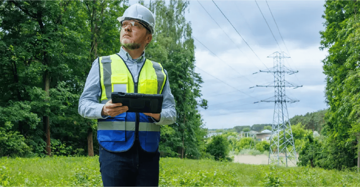
Give crews direct access to maps, forms, asset details, inspection workflows, photos, notes, and defect documentation in the field.

Clearer work visibility
Track assignments, locations, priorities, status, ownership, and follow-up activity across office and field teams.

Compliance-ready records
Create inspection history, audit trails, work evidence, reporting, and compliance documentation across safety- and reliability-focused programs.

Stronger Utility Network workflows
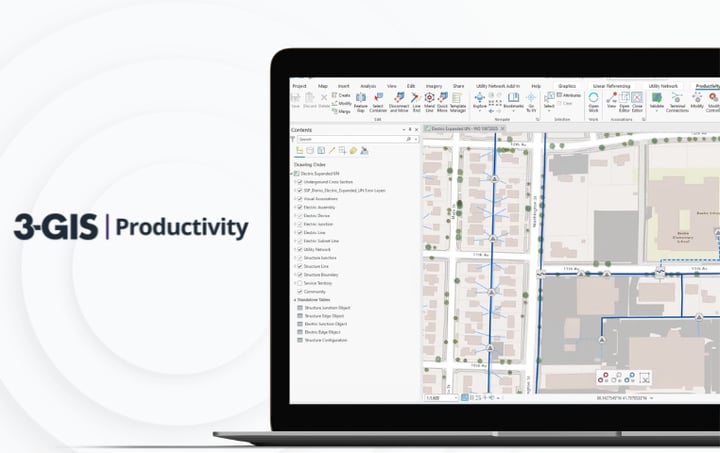
Equip GIS teams working in the Esri Utility Network with tools for editing, validation, tracing, governance, and data quality.

Managed joint use activity
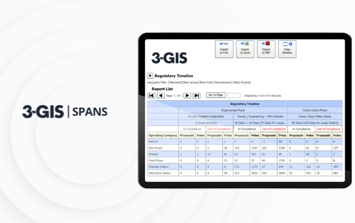
Give electric utility pole owners a clearer way to manage third-party attachments, pole records, make-ready activity, documentation, communications, and billing inputs.
.webp?width=1170&height=608&name=Utilities%20Overview_hover_swap_module_GIS%20(1).webp)
.webp?width=1170&height=608&name=Utilities%20Overview_hover_swap_module_Field%20(1).webp)
.webp?width=1170&height=608&name=Utilities%20Overview_hover_swap_module_Joint_Use%20(1).webp)
3-GIS | MIMS
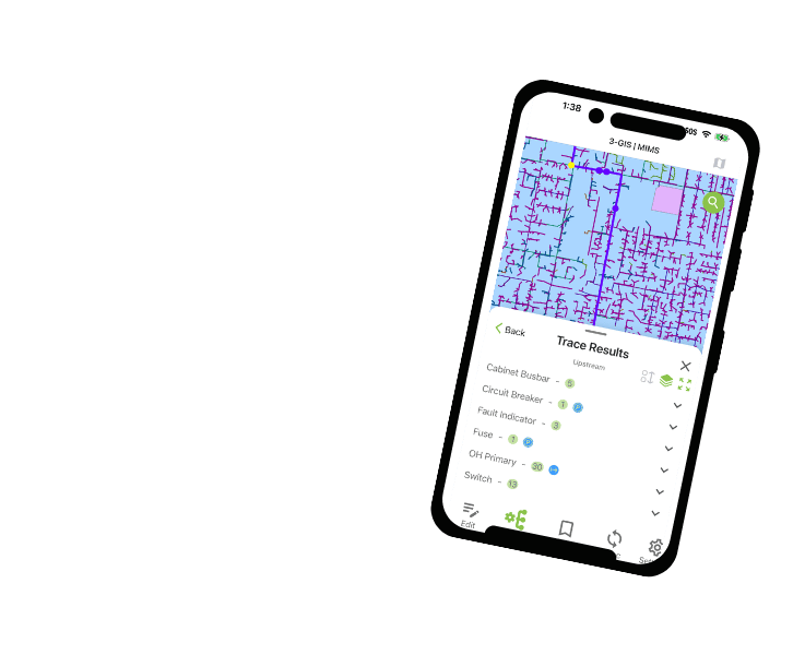
Mobile inspections and field execution.
3-GIS | MIMS gives electric and gas utility crews access to GIS data, inspections, photos, notes, asset updates, defect documentation, and field sync workflows in one mobile environment.
3-GIS | Productivity
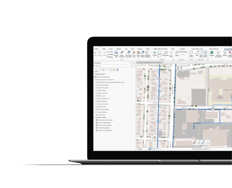
Utility Network workflows.
3-GIS | Productivity gives utility GIS teams faster, more consistent ways to work in the Esri Utility Network, with tools for editing, automation, validation, tracing, versioning, and map production.
3-GIS | Lifecycle
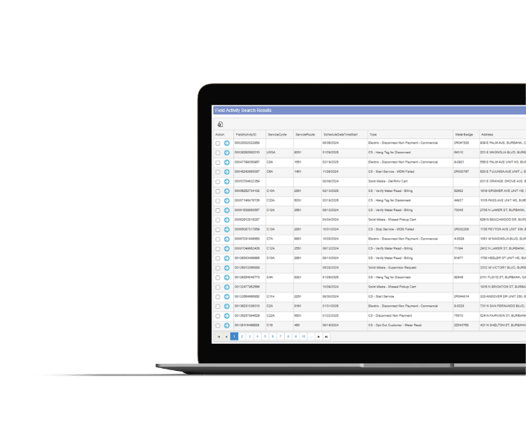
Operational visibility and work management.
3-GIS | Lifecycle gives utilities a clearer way to see, assign, track, and coordinate operational work tied to inspections, maintenance, repairs, service requests, follow-up activity, and field execution.
3-GIS | SPANS
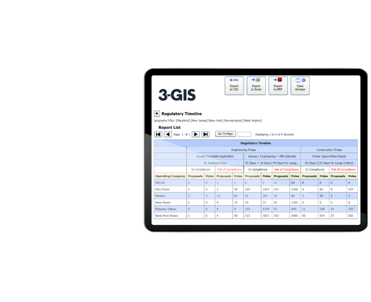
Joint use and attachment management.
3-GIS | SPANS gives electric utility pole owners a structured way to manage third-party attachments, permits, make-ready activity, pole and span records, communications, compliance documentation, and revenue-related workflows.
Keep exploring
Explore utility resources, product information, webinars, and solution content for GIS management, field inspections, operational visibility, and joint use workflows.