Operational visibility & work management

Make utility work visible

See, manage, and coordinate operational work across office and field teams. 3-GIS shows utilities teams what is planned, assigned, active, delayed, completed, or waiting on action across inspections, repairs, service requests, outage support, follow-up work, and more.

Explore 3-GIS | Lifecycle
Contact us
Operational visibility & work management

Work management at a glance.

3-GIS operational visibility and work management solutions allow utilities to turn day-to-day work into visible, trackable, location-aware operations. The objective is to replace scattered updates, spreadsheets, emails, calls, paper forms, and disconnected systems with a clearer way to plan, assign, prioritize, monitor, and close out work across office and field teams.

Supporting connected workflows

Coordinate work across teams

Utility work depends on many people, assets, locations, priorities, and handoffs. With 3-GIS, teams can connect work activity to the maps, asset context, crews, service areas, and operational status needed to keep work moving.

Pending icon


Work visibility

See assigned, active, completed, overdue, delayed, and follow-up work so teams have a clearer view of what is happening and what needs attention.

Map icon


Map-based context

Understand work in relation to assets, locations, service areas, crews, field conditions, and potential operational impact.

Exchange icon


Office-field coordination

Enable dispatchers, supervisors, operations teams, support teams, and field crews to work from shared status and operational context.

Check alert icon


Prioritization

Manage urgent work, scheduled work, inspections, repairs, maintenance, service requests, and follow-up activity with clearer priority and ownership.

Manage history icon


Work history

Maintain useful records of work activity, status changes, assignments, follow-up, and completion to support accountability and reporting.

Query icon


Operational reporting

Provide dashboards, status views, audit trails, and operational reports that help leaders understand work volume, delays, progress, and outcomes.

Why 3-GIS

Less guesswork. Better follow through.

When work status is scattered across calls, emails, spreadsheets, tickets, paper forms, and disconnected tools, teams lose time trying to understand what is happening. 3-GIS gives utilities a clearer operating picture so work can be managed with more confidence.

Published icon

 
Better team alignment

Keep office and field teams working from a shared view of priorities, assignments, crew progress, and follow-up needs. 

Wrench icon

 
Faster response

Empower teams to act on urgent issues, shifting priorities, outage-related activity, service requests, and maintenance needs with clearer status and context. 

Clipboard icon

 
Stronger accountability

Make it easier to see who owns the work, where it is happening, what status it is in, and when action is still needed. 

Hand with checkmark icon

 
Improved OpEx control

Reduce duplicate effort, missed tasks, manual coordination, delayed follow-up, and avoidable operational friction. 

Who this is for

Built for utility operations

Operational work touches many teams across the utility. With 3-GIS, each stakeholder works from a clearer view of assignments, status, location, priority, and follow-through.

Stakeholders
Supervisors
Dispatch
Crews
Operational visibility & work management - Stakeholders
 
Operations stakeholders

Improve stakeholders’ visibility into work volume, delays, priorities, crew progress, follow-up needs, and operational trends that affect reliability, safety, and cost.

Operational visibility & work management - Supervisors
 
Field supervisors

Give supervisors a better understanding of crew assignments, work progress, overdue tasks, asset-related activity, and field updates without chasing manual status reports.

Operational visibility & work management - Dispatch
 
Dispatch teams

Equip teams responsible for assigning, prioritizing, rerouting, and coordinating utility work as new issues, service needs, and operational changes come in.

Operational visibility & work management - Crews
 
Field crews

Give field teams clearer assignments, work details, location context, asset information, and follow-up expectations so they can move through work with less confusion.

Connected utility solutions

Powering operational visibility

Explore how 3-GIS connects work management, field activity, GIS context, and specialized utility workflows.

3-GIS | Lifecycle

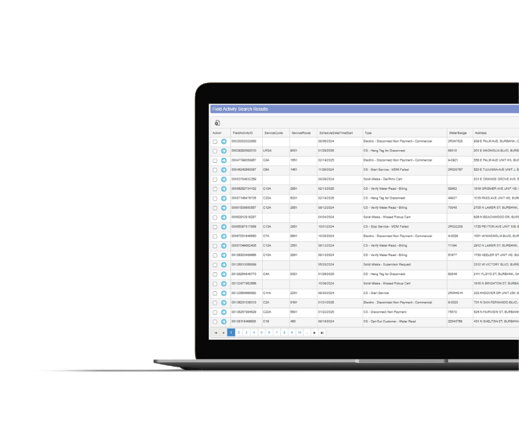
 Operational visibility and work management 

 3-GIS | Lifecycle enables utilities to manage operational work tied to inspections, maintenance, service requests, repairs, follow-up activity, and field execution. It gives teams better visibility into work status, ownership, location, priority, and progress.
3-GIS | Lifecycle

3-GIS | MIMS

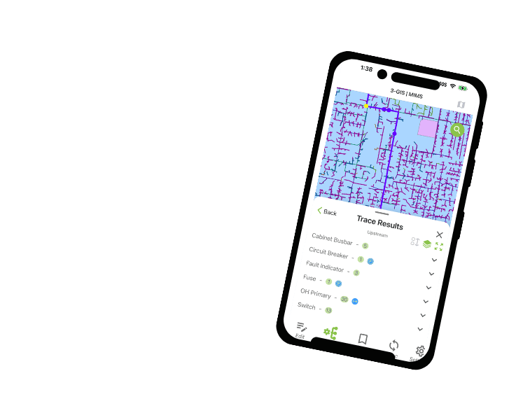
 Mobile inspections and field execution

3-GIS | MIMS accelerates mobile utility field workflows with GIS access, inspections, photos, notes, asset updates, and field documentation that can help inform operational work and follow-up activity.
3-GIS | MIMS

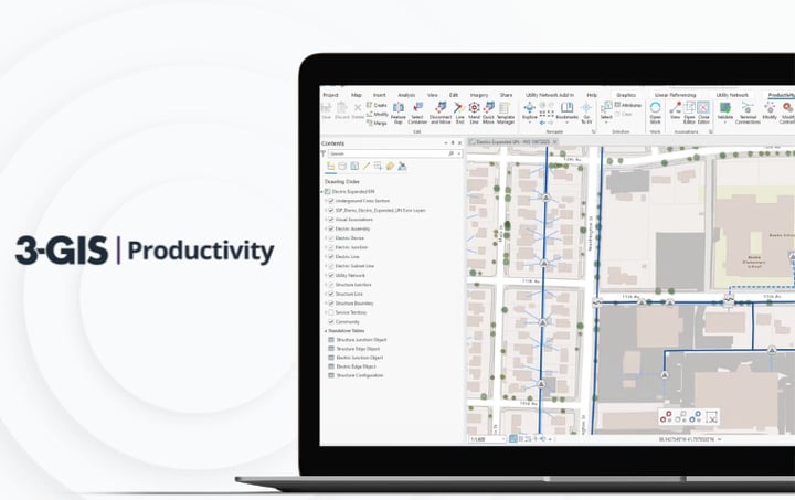
3-GIS | Productivity

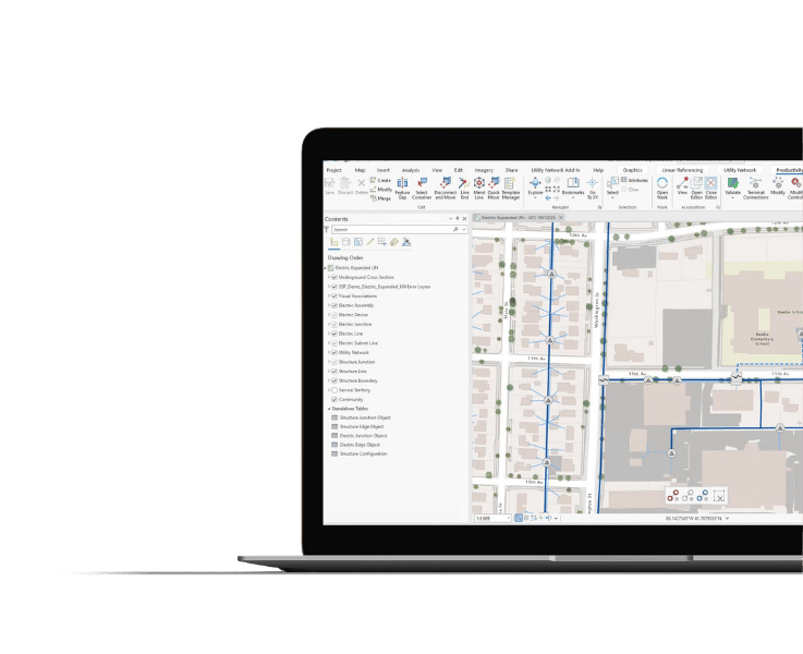
Utility Network workflow efficiency

3-GIS | Productivity improves Esri Utility Network editing, validation, tracing, versioning, and data quality workflows that support more reliable operational context.
3-GIS | Productivity
 

Operational visibility & work management FAQs

Related resources

Keep exploring

Explore related utility resources, product information, and solution content for work management, field operations, operational visibility, and utility GIS.

3-GIS | SPANS Image
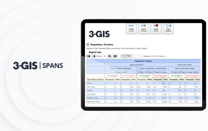
Utilities | Product spec sheet 3-GIS | SPANS 3-GIS | SPANS organizes joint use management with tools for permits, agreements, pole attachments, project records, compliance, and inter-company communication.
3-GIS | MIMS Image
Utilities | Product spec sheet 3-GIS | MIMS 3-GIS | MIMS brings mobile GIS to utility field work, supporting real-time GIS access, inspections, outage response, switch orders, vegetation management, and field updates.
3-GIS | Productivity Image
Utilities | Product spec sheet 3-GIS | Productivity 3-GIS | Productivity simplifies Utility Network editing, analysis, tracing, subnetwork management, and commissioning with guided tasks and automated error checking.

Let's connect

See and manage utility work

If you’re ready to improve work visibility, reduce manual coordination, and help office and field teams stay aligned, connect with us. Let’s discuss where operational work breaks down today and how your team can manage it with more confidence. 

Connect with us
Explore 3-GIS | LIfecycle