
3-GIS | Web Enterprise APIs
Make your systems work together
3-GIS | Web Enterprise APIs tie together the systems behind network operations, from asset management and provisioning to billing and customer workflows. Give your teams a faster, more flexible way to move network data where it needs to go.
Extending 3-GIS | Web with APIs
APIs, or application programming interfaces, enable telecom organizations to connect network data from 3-GIS | Web with the business systems, applications, and workflows that rely on that information. These APIs give internal development and integration teams a supported way to access, use, and exchange network information across planning, engineering, operations, provisioning, billing, reporting, and customer-facing processes. For enterprise telecom organizations, 3-GIS | Web’s APIs extend the value of the platform by helping network data move more efficiently across the business.
Less manual work
Replace handoffs with connections
Network operations generate data that billing, provisioning, and OSS/BSS teams all need to do their jobs. Without APIs, that data travels by hand: exports, emails, re-entry, and the errors that follow. 3-GIS | Web Enterprise APIs replace those handoffs with direct connections, so your downstream systems stay current and your teams stop managing data movement.
Put your network data to work
3-GIS | Web Enterprise APIs enable teams to use network data in the places where work happens, decisions are made, and customer needs are met. Extend 3-GIS | Web into the systems and processes that support your network from planning through operations.
Share the network record accurately
Make network information from 3-GIS | Web accessible to approved applications and tools that need asset, location, connectivity, or serviceability data, so every downstream system works from the same authoritative source.
Accelerate service delivery
Make network information available to systems that support serviceability checks, order activity, customer records, billing, and revenue-related processes to ensure teams act on accurate data without manual lookups or delayed updates.
Keep work and records aligned
Support workflows that depend on current network information as assets are added, connections change, field activity is completed, or projects move forward.
Eliminate manual steps
Replace file exports, duplicate entry, and one-off data requests with automated data flows to keep teams focused on the task at hand instead of managing data movement.
Built for the way your teams work
Integration work succeeds when technical teams have what they need to build and maintain connections with confidence. 3-GIS | Web Enterprise APIs give your developers the documentation, data formats, and access controls to do exactly that.
Clear documentation, faster integration
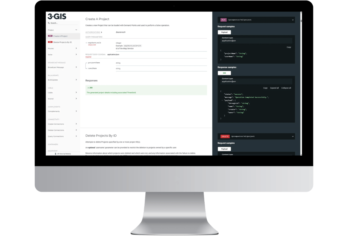
OpenAPI specifications and comprehensive API documentation give development teams the endpoint details, request formats, and response schemes they need to build integrations without guesswork or rework.
Work with formats your systems already use
JSON and GeoJSON support means network data from 3-GIS | Web arrives in formats your business system and spatial workflow integrations can consume directly, without conversion overhead.
Control who accesses what
API keys, authentication, and role-based permission controls let your organization manage access precisely, enabling trusted systems to interact with necessary data while ensuring sensitive network information stays protected.
Customer story
How Waterloo Fiber simplified activation
Waterloo Fiber’s story shows what’s possible when trusted network data from 3-GIS connects with Camvio’s OSS/BSS platform. Get the details on how the Waterloo Fiber team reduced scattered tools and manual handoffs to gain clearer visibility, better coordination, and more confidence from sign-up to service.
54%
Fewer systems in Waterloo Fiber’s activation workflow
Waterloo Fiber shows what’s possible when trusted network data from 3-GIS connects with an OSS/BSS platform. Get the details on how the Waterloo Fiber team reduced scattered tools and manual handoffs to gain clearer visibility, better coordination, and more confidence from sign-up to service.
Related products
Explore the 3-GIS ecosystem
3-GIS | Web’s Enterprise APIs are one part of a broader platform for managing network data, workflows, and configuration. Explore more products that help teams work with network information across the business.
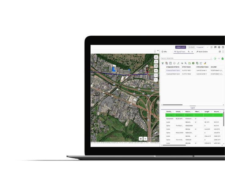
3-GIS | Web
Core telecom management solution
Manage telecom network assets, connectivity, and operational workflows from a browser-based GIS platform.
3-GIS | Admin
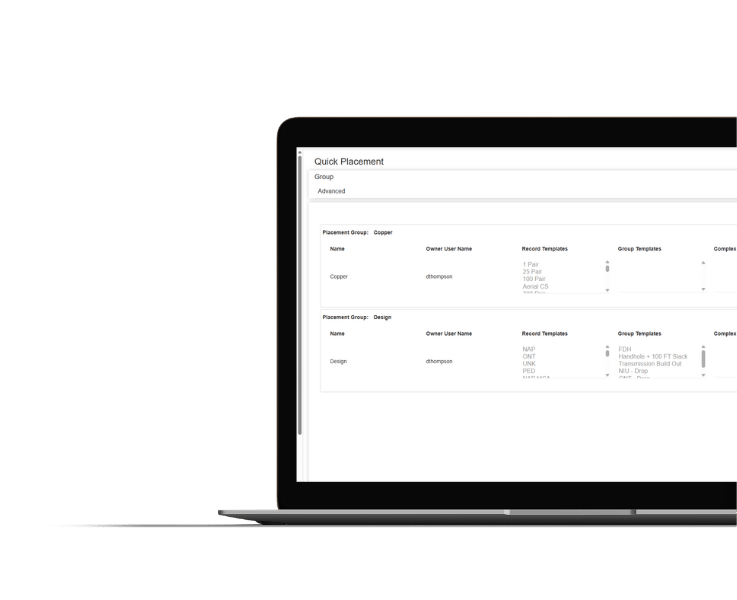
Configuration and governance
Define the rules, roles, permissions, and settings that govern how network data is accessed and managed.
3-GIS | Prospector
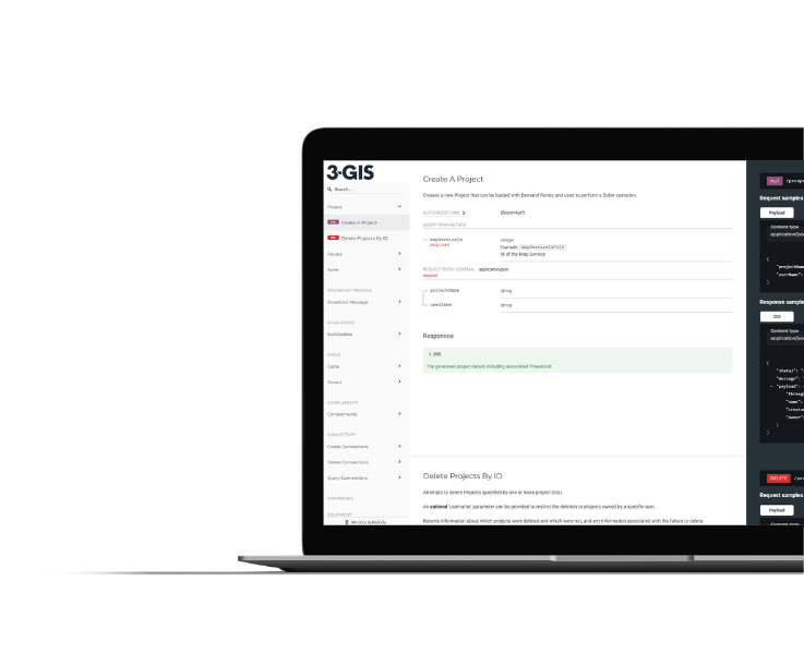
Planning and market evaluation
Automate early planning workflows to make it easier for teams to evaluate opportunities, routes, and service areas.
3-GIS | Web APIs FAQs
-
What are 3-GIS | Web Enterprise APIs?
3-GIS | Web Enterprise APIs are application programming interfaces that allow approved systems and teams to access, use, and exchange network information from 3-GIS | Web. They allow telecom organizations to connect trusted network data with the tools and workflows that depend on it.
-
Who uses 3-GIS | Web Enterprise APIs?
3-GIS | Web Enterprise APIs are typically used by telecom organizations with internal development, integration, or IT teams. They are especially useful for organizations that need network data from 3-GIS | Web to support processes beyond the GIS platform.
-
What telecom workflows can APIs support?
3-GIS | Web Enterprise APIs are most valuable to telecom operators with IT, integration, or development teams responsible for connecting 3-GIS | Web to other business systems. If your organization runs provisioning workflows, OSS/BSS platforms, or billing systems that need current network data, Enterprise APIs are the most reliable way to get it there.
-
How do APIs extend 3-GIS | Web?
3-GIS | Web is your telecom network asset management platform. APIs make it the network data source for your entire business. By connecting 3-GIS | Web to the systems where provisioning decisions, billing records, and operations activity happen, your network data stops being isolated in one platform and starts working across your organization.
Explore connected network workflows
See how 3-GIS enables more connected network management, from trusted GIS data and enterprise integration to activation workflows and operational visibility.