


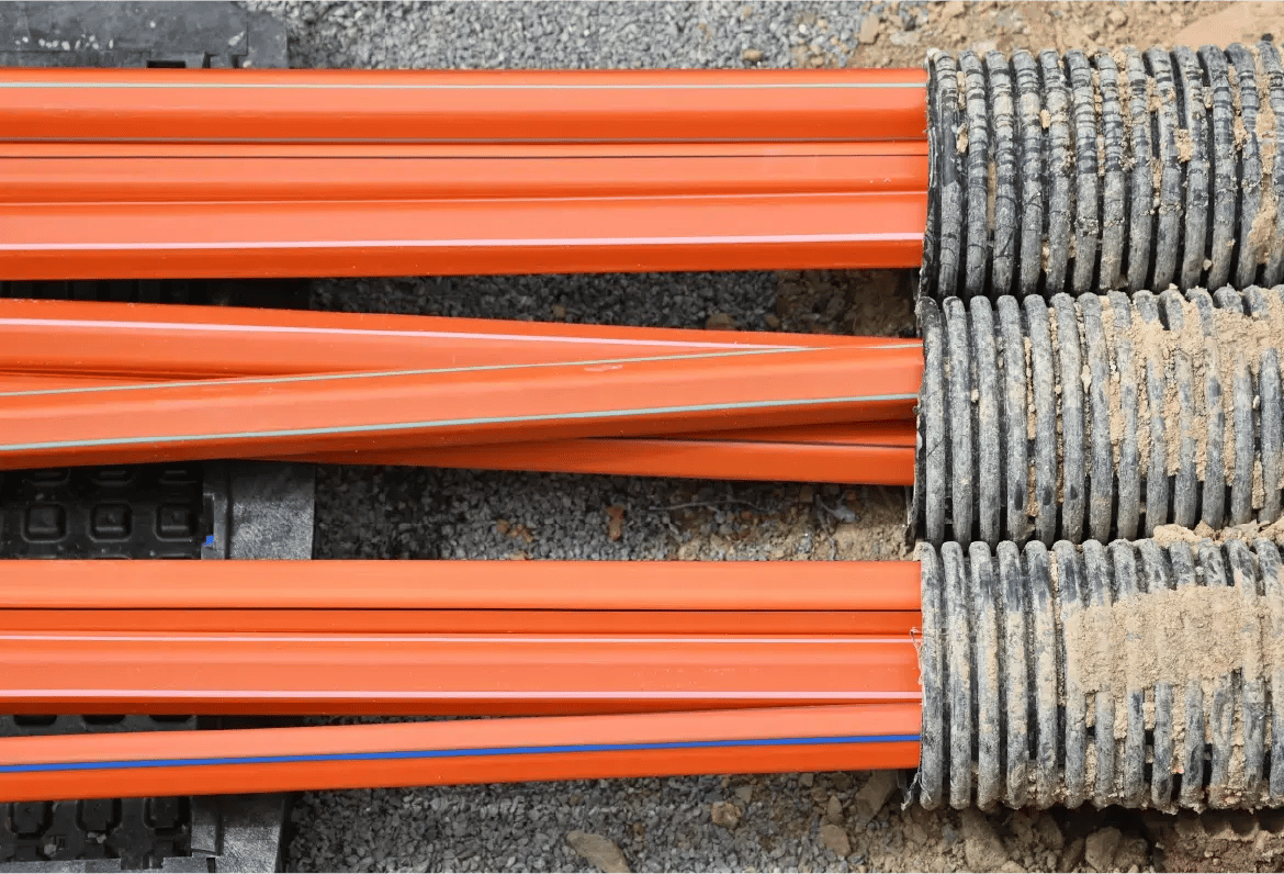
Fiber construction & field operations
Connect field updates to network records
Fiber networks change constantly between survey, construction, maintenance, and as-built documentation. With 3-GIS solutions, field data stays connected to the network system of record, reducing delays, rework, and record gaps.
Field operations at a glance
Field work only moves the network forward when the data comes with it. 3-GIS solutions give telecom teams a structured way to capture field findings, redlines, inspections, repairs, replacements, and as-built updates as usable network data for planning, operations, and maintenance.
Field-to-record workflows
Connect the field to the record
Field activity often starts where documentation breaks down: paper notes, screenshots, spreadsheets, and disconnected contractor updates. With 3-GIS, field information moves into the network record with greater structure, accuracy, and accountability.
Surveys & walkouts
Capture survey notes, walkout details, field observations, structure information, route context, and early field inputs that shape the work ahead.
Construction updates
Keep build activity, construction status, contractor updates, field changes, and closeout details connected to network documentation.
Redlines & field notes
Capture redlines, photos, notes, attribute updates, field corrections, and real-world changes while crews are still close to the work.
Inspections
Coordinate inspections, verification workflows, quality checks, and field documentation that help teams understand what was completed and what needs attention.
Repairs & replacements
Enable teams to document outage repairs, equipment swaps, cable replacements, maintenance activity, and other field changes that affect the network.
As-built updates
Shorten the gap between field activity and updated network records so as-builts are less dependent on delayed handoffs and manual entry.
Why 3-GIS
Field activity becomes network intelligence
Fiber construction and field operations create data that matters long after the job is complete. 3-GIS preserves that value by connecting field updates to the network record that supports activation, maintenance, service delivery, and future expansion.
System-of-record continuity
Connect construction and field activity back to long-term network documentation so updates do not disappear after closeout.
Office-field coordination
Align engineering, operations, construction, maintenance, inspectors, and contractors so they work from more consistent data.
Less rework
Reduce avoidable truck rolls, repeated verification, delayed updates, and field revisits caused by incomplete or disconnected records.
Lifecycle follow-through
Facilitate network management from planning and design through construction, activation, maintenance, repair, and long-term operations.
Who this is for
Built for field-driven teams
Fiber construction and field operations require coordination across office, field, engineering, and operations teams. 3-GIS ensures that each group works from better context and more current network records.
Build teams
Enable construction managers, contractors, and project teams to coordinate build activity, field changes, closeout details, and as-built documentation.
Field crews
Give crews access to network information, locations, routes, structures, asset details, and update tools while work is happening.
GIS & engineering
Ensure GIS and engineering teams receive clearer updates from the field so records better reflect what was built, changed, or verified.
Maintenance teams
Equip teams documenting repairs, replacements, inspections, and outage-related changes that need to stay connected to the network record.
Connected telecom solutions
Powering field operations
Explore how 3-GIS connects field work, network records, governance, and long-term operations.
3-GIS | Mobile
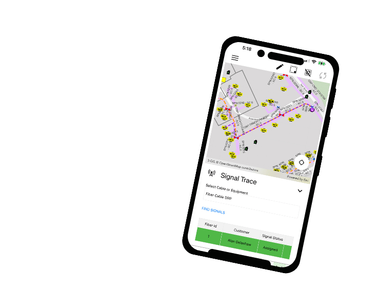
Field access and updates
3-GIS | Mobile gives field teams access to network records, asset details, status updates, and data capture tools where construction and maintenance work happens.
3-GIS | Web
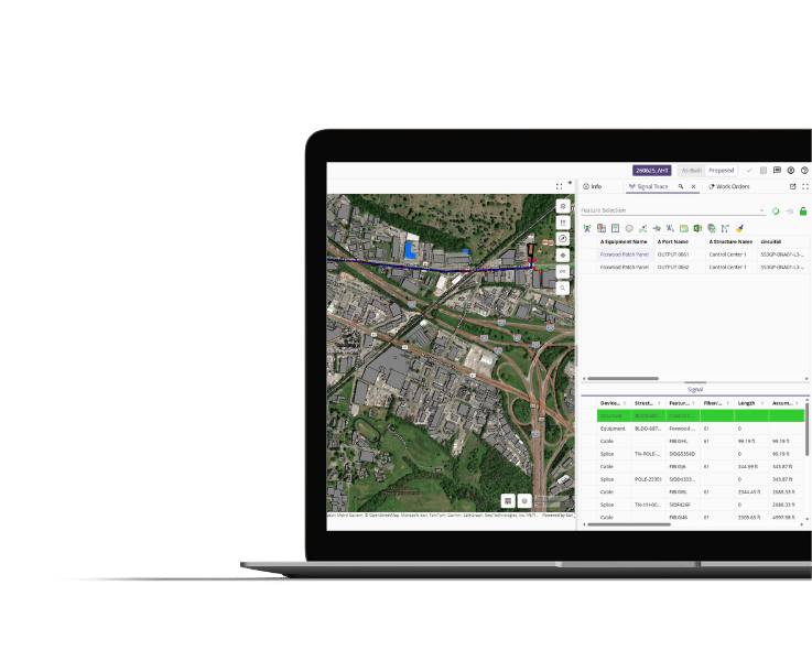
Core network management platform
3-GIS | Web is the central environment for managing telecom assets, connectivity, design activity, construction updates, documentation, and the network system of record.
3-GIS | Admin
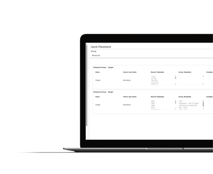
Configuration and governance
3-GIS | Admin manages users, roles, permissions, contractor access, data visibility, tools, and workflows across field and office environments.
Fiber construction & field operations FAQs
-
How can 3-GIS facilitate fiber construction and field operations?
Fiber construction and field operations solutions are useful for fiber operators, broadband providers, AltNets, municipalities, utilities with fiber assets, service providers, construction managers, field operations teams, OSP engineers, project managers, GIS teams, designers, inspectors, and contractor coordinators.
-
How does 3-GIS support as-builts?
3-GIS captures field changes, redlines, photos, notes, status updates, repair activity, replacement details, and construction information closer to where the work happens. This can shorten the gap between field activity and updated network documentation.
-
How does 3-GIS reduce field visits?
When field activity is disconnected from network records, teams may rely on manual handoffs, repeated verification, screenshots, spreadsheets, or incomplete documentation. Better field-to-office coordination gives crews the context to complete more work in a single visit, reducing repeat truck rolls, delayed closeout, rework, and decisions based on outdated data.
-
Which 3-GIS products support fiber construction & field operations?
3-GIS | Mobile and 3-GIS | Web are the primary products for fiber construction and field operations. Mobile gives field teams access to network data and update tools where the work happens, while Web serves as the core network management environment and system of record.
-
How does construction data improve future network work?
Field updates captured during construction become more valuable when they carry forward into the network record. With more accurate as-built data, operations teams can make better decisions for maintenance, troubleshooting, service activation, outage response, repair planning, and future expansion.
Powering field operations
Explore how 3-GIS connects field work, network records, governance, construction data, and long-term operations.
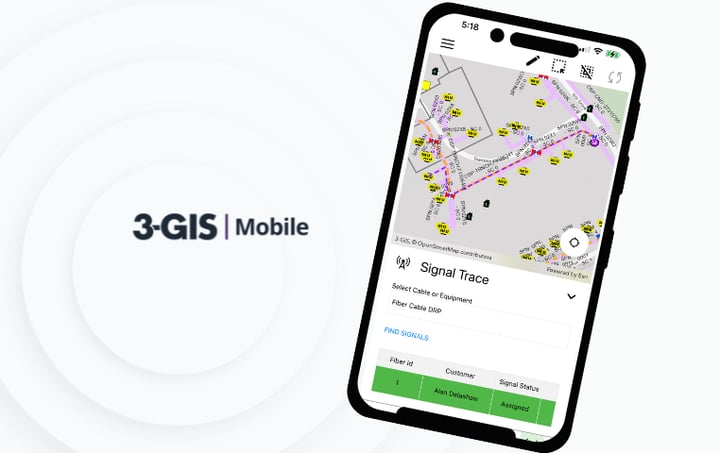
3-GIS | Mobile gives field teams access to telecom network data from iOS and Android devices, supporting redlines, inspections, outage tracing, and field updates.
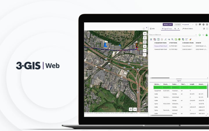
3-GIS | Web brings telecom network data, GIS editing, signal tracing, project tracking, and enterprise collaboration together in one browser-based system.
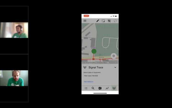
Consistent, efficient, and replicable troubleshooting procedures are essential to maintaining customer satisfaction, optimizing resource allocation, and reducing costs associated with outages. Learn how 3-GIS tools can be used to pinpoint outages both from the office and the field.
Let's connect
Close the field-to-office gap
If field updates, construction closeout, repairs, or as-builts are getting trapped in notes, PDFs, spreadsheets, or disconnected tools, connect with us to discuss how your teams can keep network records closer to reality.


