Network operations & maintenance
Operate with better network context
Once a telecom network is live, every repair, expansion, outage response, and field update changes the operational picture. 3-GIS solutions connect asset, connectivity, capacity, and field data so teams can respond faster, reduce manual research, and make better use of existing infrastructure.
Network operations at a glance
After buildout, network data has to stay useful for daily decisions, not just historical documentation. 3-GIS solutions give telecom teams a reliable operational view of assets, connectivity, capacity, and service-impacting changes so they can troubleshoot issues, plan maintenance, and keep network activity grounded in accurate records.
Supporting connected workflows
Keep operations tied to the network record
Operations teams miss the big picture when relying on disconnected systems and tribal knowledge. 3-GIS connects maintenance, outages, repairs, field activity, and network changes back to the system of record so teams can understand what is affected, where the issue is, and what changed recently.
Network visibility
View assets, routes, equipment, structures, service areas, and network details in geographic and operational context.
Connectivity context
Understand how assets connect, which paths are involved, and what downstream services, areas, or customers may be affected.
Service impact
Identify outage areas, affected assets, and potential service impact using connected network records instead of disconnected maps, tickets, or field notes.
Maintenance support
Equip teams with the asset, location, and connectivity details they need to inspect, repair, replace, and document network infrastructure with greater accuracy.
Capacity insight
Give teams clearer visibility into available capacity, connected assets, and network constraints as they evaluate service opportunities, maintenance needs, and future expansion.
Field updates
Keep repairs, replacements, inspections, troubleshooting notes, and maintenance activity connected to the network record.
Why 3-GIS
Move from reactive to informed
When operations teams cannot trust network records, every issue takes longer to understand. 3-GIS moves telecom organizations from scattered records and manual verification toward more data-driven network operations.
System-of-record alignment
Keep maintenance, repairs, outages, and network changes connected to authoritative asset and connectivity data.
Operational interoperability
Connect network records with active monitoring tools, OSS/BSS platforms, CRMs, field operations, and other systems that support daily operations.
OpEx control
Reduce time spent chasing down asset details, confirming network conditions, sending crews to verify information, and resolving delays caused by incomplete or outdated records.
Service reliability
Give teams better visibility, accelerate restoration decisions, protect customer experience, and improve use of existing infrastructure.
Who this is for
Built for live network operations
Network operations and maintenance involve many teams working from different systems, priorities, and views of the network. 3-GIS gives each group a clearer, more trusted operational record.
Network stakeholders
Give stakeholders better insight into reliability, service delivery, customer impact, infrastructure performance, and the value of existing network assets.
NOC teams
Enable teams to assess outage location, affected paths, service areas, recent changes, and network impact without searching across disconnected records.
Network engineers
Provide OSP engineering teams with better visibility into connectivity, capacity, maintenance history, field updates, and data accuracy.
Field and maintenance crews
Give field teams access to asset details, network context, repair history, outage information, and update workflows while work is happening.
Connected telecom solutions
Powering network operations
Explore how 3-GIS connects network records, field work, visualization, governance, and operational systems.
3-GIS | Web
Core network management platform
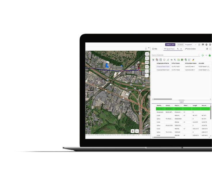
3-GIS | Web is the primary environment for managing telecom assets, connectivity, operations, work activity, reports, and network intelligence across the lifecycle.
3-GIS | Diagramming
Advanced network visualization
3-GIS | Diagramming extends 3-GIS | Web beyond the platform with exports providing the clarity needed to understand the relationships between connected network assets.
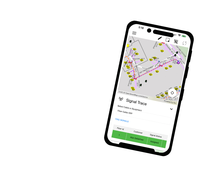
3-GIS | Mobile
Field access and updates
3-GIS | Mobile provides field teams access to network records, asset details, reports, redlines, and troubleshooting context where maintenance work happens.
3-GIS | Admin
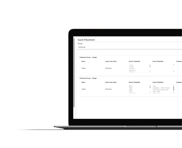
Configuration and governance
3-GIS | Admin gives organizations control over user access, permissions, tools, data visibility, QA/QC rules, reports, and system behavior across operational workflows.
3-GIS | Web
Enterprise APIs
Enterprise system connection
3-GIS | Web Enterprise APIs connect network records with surrounding operational systems, including active monitoring, OSS/BSS platforms, construction management, and other enterprise workflows.
Customer success story
Before the trouble ticket
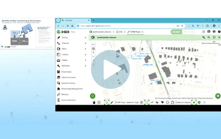
See how Windstream Wholesale connects remote fiber monitoring with geospatial network intelligence to detect faults earlier, locate affected assets, and coordinate response before customer-reported issues drive the process.
Network operations & maintenance FAQS
-
How can 3-GIS facilitate network operations and maintenance?
Network operations and maintenance solutions are useful for fiber operators, broadband providers, telecom carriers, AltNets, municipalities, utilities with telecom assets, network owners, NOC teams, field operations, maintenance crews, GIS teams, OSP engineers, service delivery teams, and asset managers.
-
How does 3-GIS help locate fiber outages?
3-GIS | Web and 3-GIS | Mobile ingest OTDR results, taking into account slackloops, sag, and sequential values, and provide the physical address and coordinates of the break. For reports of multiple outages, 3-GIS | Web pinpoints the common assets between each downed equipment.
-
How can 3-GIS reduce OpEx?
Better network records and operational visibility can help reduce manual research, repeat verification, unnecessary truck rolls, duplicated work, and delays caused by incomplete data. Teams can spend less time searching for context and more time resolving the issue.
-
Why does system interoperability matter?
Network operations often depend on multiple systems, including monitoring tools, OSS/BSS, field workflows, reporting platforms, and enterprise GIS. 3-GIS can help connect the network system of record with surrounding operational systems so teams can act on data instead of viewing it in isolation.
Keep exploring
Explore resources on network operations, fiber maintenance, outage response, field workflows, interoperability, and telecom network management.