
3-GIS | Admin
Configure with confidence
3-GIS | Admin centralizes the configuration controls administrators need to govern users, workflows, permissions, and system behavior across the 3-GIS telecom software suite. As network operations evolve, teams can adapt system settings, maintain standards, and make routine changes. No custom code required.
Admin at a glance
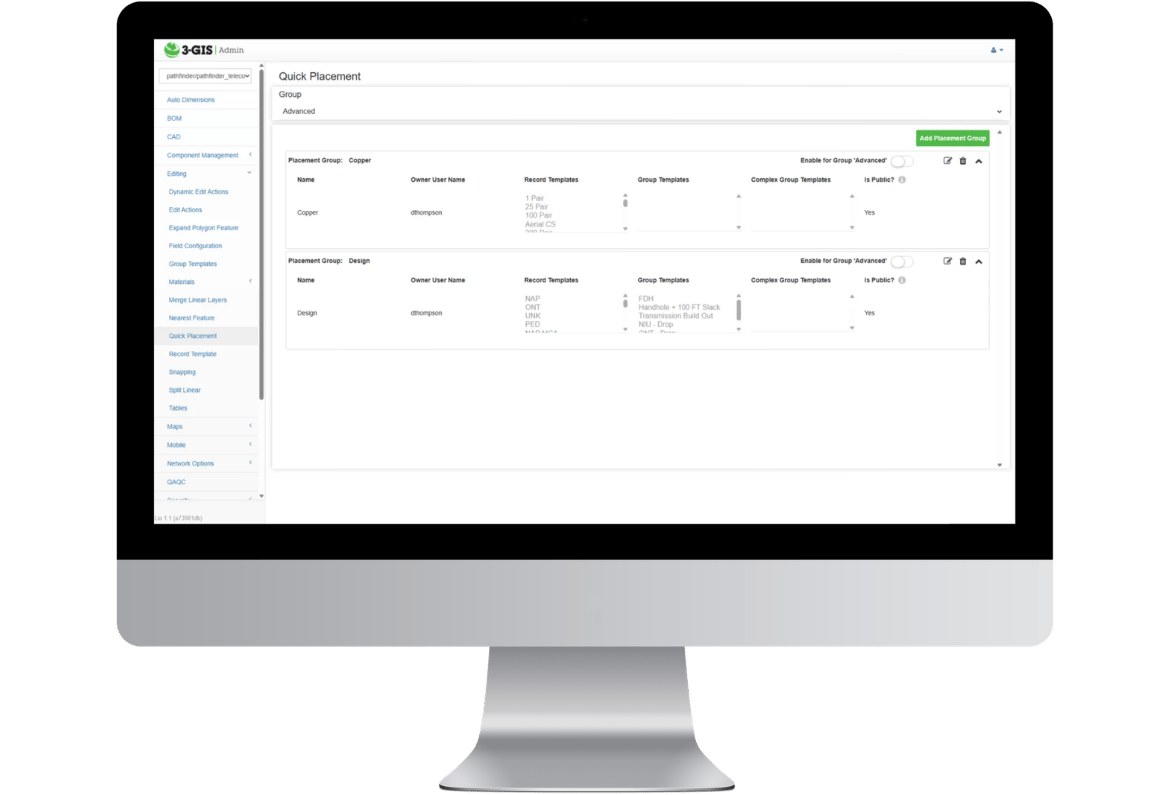
3-GIS | Admin is the browser-based control layer for configuring 3-GIS | Web, 3-GIS | Mobile, 3-GIS | Prospector, and related telecom workflows. Authorized administrators can manage users, roles, permissions, tools, data access, attribution, reports, QA/QC rules, and system behavior without requiring custom code for every operational change.
No-code configuration
Adapt without starting over
Telecom network management needs change constantly as teams, projects, policies, and workflows evolve. 3-GIS | Admin enables administrators to adjust the system to match how the organization works without relying on custom development or vendor support for every routine configuration update.
Key capabilities
Control how teams work
3-GIS | Admin enables telecom organizations to configure the rules, permissions, tools, and views that shape how users interact with network data.
Access control
Manage users, groups, administrator privileges, tool access, and role-based permissions so each team has the right level of access.
Data governance
Control map visibility, attribution visibility, editability, third-party access, and data access rules for internal and external users.
Workflow standards
Configure feature templates, auto values, edit actions, BOM rules, material catalogs, QA/QC rules, and work packet exports.
System visibility
Use browser-based administration to support reporting, system preferences, map services, system health, and service status visibility.
Key features
Governance without rigidity
3-GIS | Admin gives telecom organizations more control over how different users, projects, teams, vendors, and workflows work with network data. The result is a system that can stay governed without becoming difficult to adapt.
Faster operational change
Teams can adapt routine settings as projects, markets, and processes change without turning every adjustment into a development request.
Consistent platform standards
Organizations can apply shared rules and expectations across the environment, creating stronger consistency as users and workflows expand.
Confidence in access
Every user, including vendors, sees the right network context for their role, reducing unnecessary exposure while keeping teams focused on the work in front of them.
Connected solutions
Administration for telecom network management
With 3-GIS | Admin, organizations configure how users access, manage, analyze, and update network data across the telecom software suite.
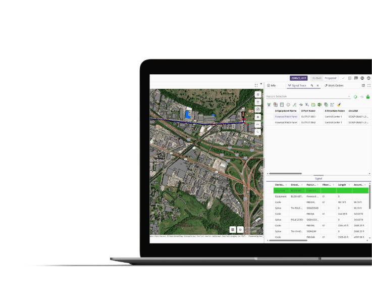
3-GIS | Web
The primary network management workspace
3-GIS | Web is where teams manage, edit, analyze, and work with the network. Admin configures the permissions, tools, workflows, attribution, rules, and data access that shape the Web experience.
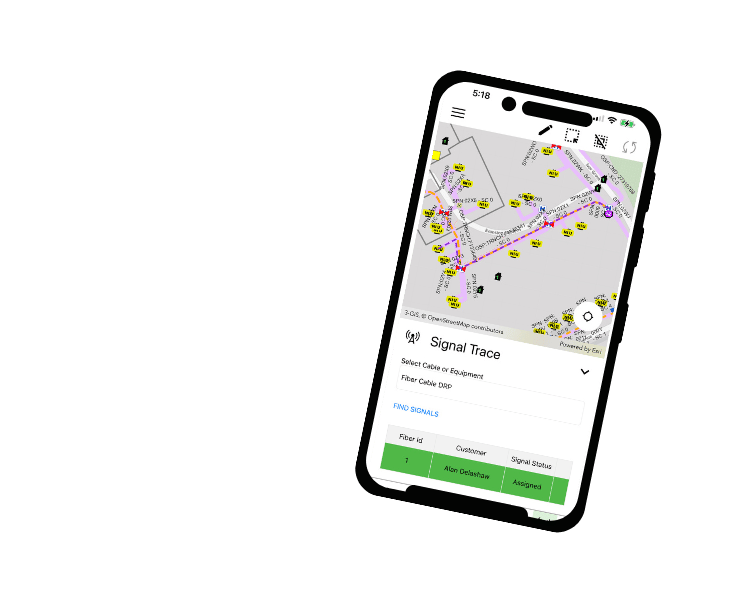
3-GIS | Mobile
Field access to network data
3-GIS | Mobile extends network access into the field. Admin manages field-user permissions, tool access, map visibility, data visibility, and the mobile experience for different teams.
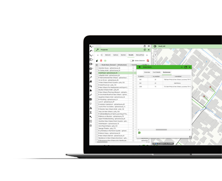
3-GIS | Prospector
Route and cost analysis
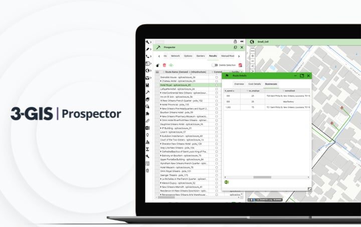
3-GIS | Prospector enables planning analysis. Admin makes it easy to configure the rules, data layers, and settings that support more consistent route and cost analysis outputs.
3-GIS demonstrated how their software could be customized and configured to meet our specific needs, and our data could be migrated to a new platform without losing any of the critical functionality that allows us to troubleshoot and maintain our network. Their support team has continued to assist in making sure that the 3-GIS platform serves as an excellent tool in the maintenance of our fiber optic network.
3-GIS | Admin FAQs
-
What is 3-GIS | Admin?
3-GIS | Admin is the browser-based configuration and governance layer for 3-GIS. It enables system administrators to manage how users interact with 3-GIS | Web, 3-GIS | Mobile, 3-GIS | Prospector, extensions, modules, and related workflows.
-
Who uses 3-GIS | Admin?
3-GIS | Admin configures users, groups, administrator privileges, tool access, data access, map visibility, attribution visibility, editability, feature templates, auto values, edit actions, workflows, map services, layers, BOM rules, material catalogs, QA/QC rules, work packet exports, reports, and system preferences.
-
How does 3-GIS | Admin support governance?
With 3-GIS | Admin, organizations can protect network data by controlling who can view, edit, change, or access specific data, tools, map layers, feature attributes, geographies, and workflows. This is especially useful when teams need to work with contractors, vendors, and third parties without exposing more network data than necessary.
-
Does every 3-GIS customer need to have 3-GIS | Admin?
3-GIS | Admin is not necessary to use 3-GIS | Web. Necessity depends on deployment model. Contact us to discuss which administration options apply to your organization.
Keep exploring
Browse resources on telecom network management, platform governance, and related telecom products.