Asset inspection & field operations

Turn inspections into action

Plan, perform, document, and act on field inspections and asset work with greater confidence. Our solutions for gas and electric utilities teams move field findings forward instead of getting buried in paper forms, spreadsheets, or disconnected apps.

Explore 3-GIS | MIMS
Contact us
Asset inspection & field operations

Utility field operations at a glance.

3-GIS asset inspection and field operations solutions connect field work to the asset data, maps, inspection history, documentation, and follow-up actions needed to keep utilities work moving. Teams can inspect assets, capture findings, identify defects, prioritize repairs, assign work, update records, and maintain compliance-ready documentation with less manual handoff.

Supporting connected workflows

From inspection to follow-through

Field inspections only create value when findings are documented, reviewed, prioritized, and acted on. 3-GIS streamlines the full field operations workflow, from planning to repair documentation and record updates.

Fact check icon


Field inspections

Enable inspections, surveys, patrols, maintenance checks, repair documentation, and field data collection for electric and gas utility assets.

Clipboard icon


Mobile workflows

Give crews mobile access to forms, maps, asset details, inspection history, locations, and work context while they are in the field.

Check alert icon


Defect capture

Document failed inspections, asset conditions, notes, observations, and issues that need review or corrective action.

Clipboard checkmark icon


Repair follow up

Move findings into prioritization, assignment, resolution, and closeout so defects do not get lost after the inspection is complete.

Alternating arrows icon


Asset updates

Keep utility records more current by connecting field updates, inspection results, repair activity, and asset changes back to trusted systems.

Inventory box icon


Audit-ready records

Maintain inspection history, work evidence, repair records, documentation, and reporting support for compliance and internal review.

Why 3-GIS

Turn field findings into operational progress

Inspections only create value when the information captured in the field leads to the right next step. 3-GIS connects mobile inspection data with asset records, repair workflows, documentation, and operational visibility so teams can move from finding an issue to managing the response with more speed, accountability, and confidence.

Published icon

 
Inspection-to-action focus

Move beyond completed forms by connecting findings to review, prioritization, repair assignment, and resolution. 

Map icon

 
Map-connected work

Keep inspections, defects, repairs, asset updates, and field observations tied to accurate maps and utility asset data. 

Dynamic form icon

 
Flexible field processes

Empower teams with configurable inspection forms and workflows for different electric, gas, maintenance, survey, and compliance programs. 

Folded paper icon

 
Compliance-ready documentation

Make inspection results, work evidence, repair history, and follow-up actions easier to document, retrieve, and report. 

Who this is for

Built for field programs

Asset inspection and field operations involve crews, supervisors, GIS teams, compliance stakeholders, maintenance teams, and utility leaders. 3-GIS provides each group with better field context and more complete inspection records.

Crews
Supervisors
Compliance
Operations
Asset inspection & field operations - Crews
 
Field teams

Give crews access to maps, asset data, inspection history, forms, and work context so they can document field conditions with less friction.

Asset inspection & field operations - Supervisors
 
Field supervisors

Make it easier for supervisors to monitor inspection progress, review findings, identify follow-up needs, and keep field work moving toward resolution.

Asset inspection & field operations - Compliance
 
Records teams

Keep compliance and reporting teams informed with inspection history, work evidence, repair documentation, audit trails, and retrievable records.

Asset inspection & field operations - Operations
 
Maintenance teams

Have operations and maintenance teams turn defects, failed inspections, and field observations into prioritized repair work and follow-up activity.

Connected utility solutions

Powering field operations

Explore how 3-GIS connects mobile field work, operational follow-through, GIS context, and specialized utility workflows.

3-GIS | MIMS

 Mobile inspections and field execution

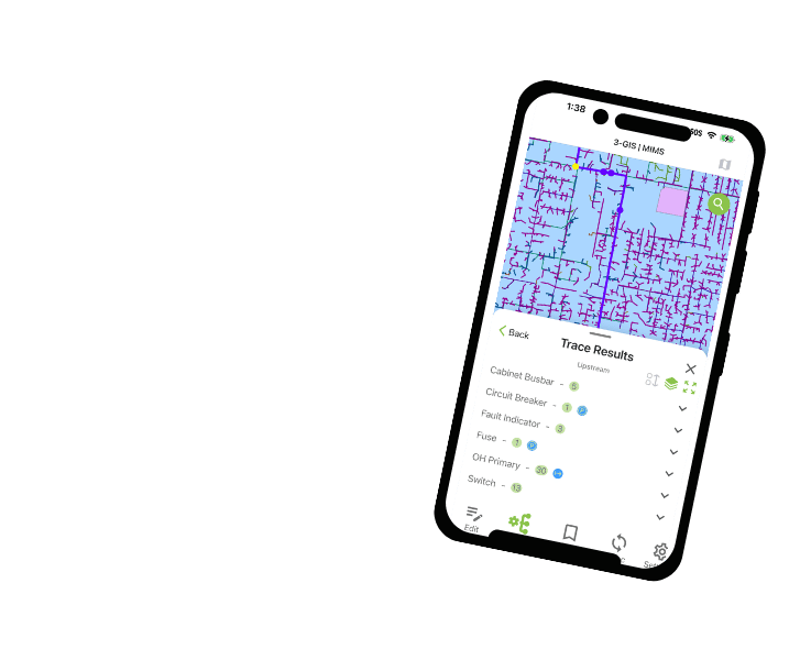
3-GIS | MIMS enables utility crews to perform inspections, access GIS data, capture photos and notes, document defects, update asset information, and work in connected or disconnected environments.
3-GIS | MIMS

3-GIS | Productivity

Utility Network workflow efficiency

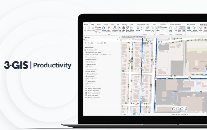
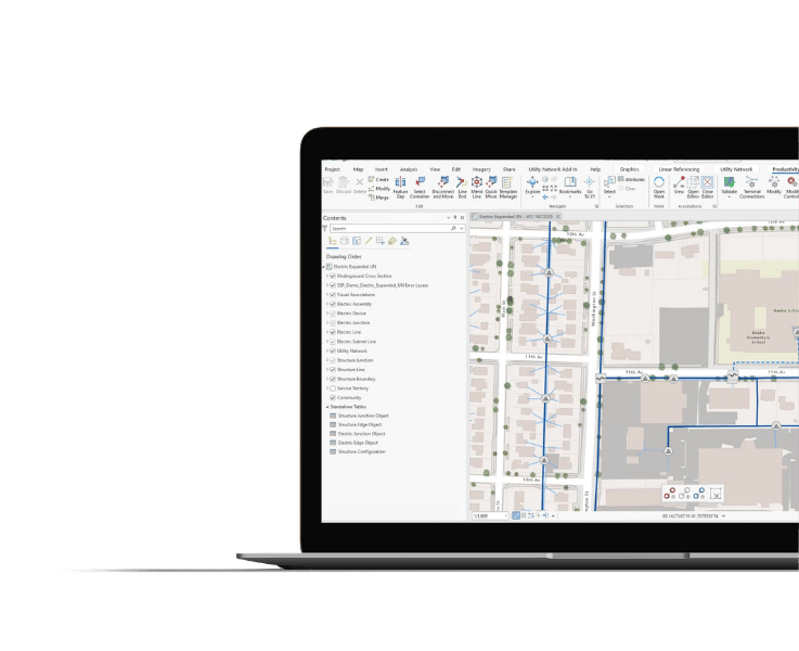
3-GIS | Productivity gives GIS teams the ability to manage the editing, validation, tracing, and Utility Network workflows that may be needed after field updates return from inspections or repairs.
3-GIS | Productivity

3-GIS | SPANS

Joint use management

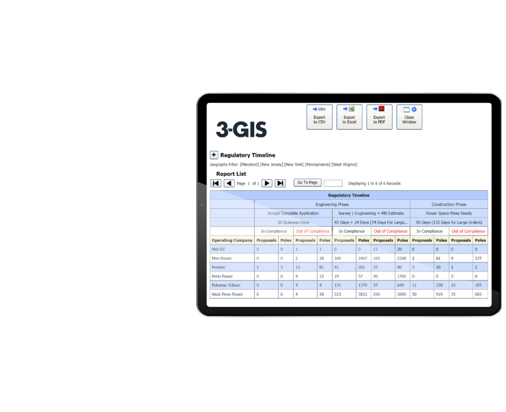
3-GIS | SPANS drives joint use workflows when pole inspections, attachment records, make-ready needs, or field observations connect to third-party attachment management.
3-GIS | SPANS

Customer story

Inspections that drive action

45,000+

Facilities managed through GIS-based inspection and repair workflows.

See how Modesto Irrigation District connects GIS-based mobile inspections directly to repair assignments, replacing manual handoffs with a clearer path from field defect to documented resolution.


Asset inspection & field operations FAQs

Related resources

Keep exploring

Explore related utility resources, product information, and solution content for field inspections, mobile GIS, repair workflows, operational visibility, and utility asset data.

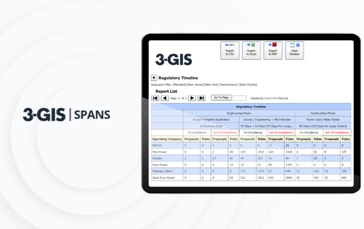
3-GIS | SPANS Image
Utilities | Product spec sheet 3-GIS | SPANS 3-GIS | SPANS organizes joint use management with tools for permits, agreements, pole attachments, project records, compliance, and inter-company communication.
3-GIS | MIMS Image
Utilities | Product spec sheet 3-GIS | MIMS 3-GIS | MIMS brings mobile GIS to utility field work, supporting real-time GIS access, inspections, outage response, switch orders, vegetation management, and field updates.
3-GIS | Productivity Image
Utilities | Product spec sheet 3-GIS | Productivity 3-GIS | Productivity simplifies Utility Network editing, analysis, tracing, subnetwork management, and commissioning with guided tasks and automated error checking.

Let's connect

Turn field findings into action

If your inspection results, defect tracking, repair assignments, or compliance records are getting slowed down by manual handoffs, connect with us to discuss how your field operations can move with more confidence. 

Connect with us
Explore 3-GIS | MIMS