What is Esri’s Telecom Domain Network (TDN)?
When Esri introduced the Telecom Domain Network (TDN), it marked an important step forward for modeling communication networks within the ArcGIS...



Faster installs depend on more than speed. Watch how connected orders, field work, and network records keeps Waterloo Fiber moving from request to activation.

Inspection findings should not sit in reports. Watch how Modesto Irrigation District moves field findings into repair assignments teams can act on.
4 min read

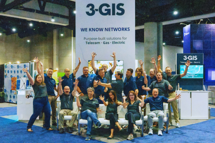
The 3-GIS team just spent the week with over 15,000 geospatial professionals from 130-plus countries at the 2025 Esri User Conference.1 The show brought about conversations discussing integration, fiber rollout hurdles, and the always encouraging success stories. From the booth to speaking sessions and side-hall conversations, a few consistent themes emerged: how can we scale networks faster, protect critical assets, and navigate volatile funding with proven, integrated tools. Here’s a look at the biggest insights and standouts from the week.
With major infrastructure efforts underway around the globe, one theme stood out: organizations want technology they can trust in the field, not just in a demo. Across telecom, utilities, and government sectors, attendees emphasized the need for solutions that are already proven, platforms that scale reliably, integrate with existing systems, and come backed by long-term vendor support. Whether the challenge is navigating permitting, managing headcount constraints, or accelerating service delivery, decision-makers are leaning toward tools that offer low-friction adoption and consistent, real-world outcomes.
These pressures aren’t unique to one country or region. They’re shared challenges across a global industry, and they set the tone for many of this year’s most talked-about sessions.
Esri UC 2025 featured many telco-focused sessions covering everything from permitting and permitting automation to resilience planning and customer service delivery. Across the board, GIS was positioned not just as a mapping tool, but as a foundational system for accelerating network deployment and protecting infrastructure. It was especially rewarding to see members of the 3-GIS team join the conversation, presenting alongside customers and city leaders who are using GIS to solve real world challenges.
In the telecom industry, “customer turn-up” refers to the final steps required to activate service at a new location. While the fiber may be in the ground, delays often occur between planning and activation due to fragmented systems, manual validation, or limited visibility into serviceability. These gaps not only slow delivery timelines but also frustrate customers and teams alike.
That’s the challenge Ed Bagnall, Managing Director of EMEA at 3-GIS, addressed during his session. Telecom providers are increasingly turning to unified GIS-based systems to streamline the final steps of customer activation. By managing location validation, serviceability checks, and project updates in one connected environment, teams can reduce delays, cut down on manual processes, and deliver service with greater confidence. This approach is especially valuable for operators looking to replace legacy tools and eliminate the operational silos that often slow turn-up after construction is complete.
This focus on operational clarity carried over into a second session, centered on protecting underground infrastructure. It’s another area where integrated GIS is making an immediate impact.
As fiber networks expand into more complex urban environments, the risk of damaging underground infrastructure during construction continues to grow. For city planners and telecom operators alike, improving visibility into asset locations and utility coordination has become a top priority, especially as expectations around outage prevention and dig-safe compliance continue to rise.
That was the focus of a session led by Andrew Wilson, Geographic Information Systems Administrator for the City of Hilliard, Ohio, and Andrew Wright, Senior Consultant at 3-GIS. They showed how municipalities and providers can combine live network data with 811 information to better coordinate projects, reduce strike risk, and protect underground infrastructure. For city engineers managing complex urban builds, this level of real-time visibility is no longer a nice to have. It is essential.
Across both sessions, the takeaway was clear: GIS is becoming the operational foundation for how modern networks are built, activated, and maintained.
Each year, Esri’s Special Achievement in GIS (SAG) Awards recognize a small number of standout organizations, selected from over 350,000 global Esri customers, that are pushing the limits of geospatial technology to solve real-world problems.2
This year, two 3-GIS customers were among the winners. Each represents a different scale, region, and use case, but both show the same commitment to innovation through GIS.
Esri recognized Oman Broadband (OBB) for building a centralized, GIS-powered platform that provides real-time visibility into the national fiber network. This system is helping the provider cut FTTx timelines by 25 percent, improve field productivity, and drive smarter, data-led expansion as part of Oman’s broader digital transformation strategy.3
See the details on how OBB has modernized its national infrastructure in the full customer spotlight - Oman Broadband customer spotlight

Ervin Cable Construction (ECC) also received a 2025 SAG Award for developing a geospatial “digital twin” that connects planning, permitting, construction, billing, and resource management in one ecosystem. Before this transformation, a billing clerk processed about 150 miles of network annually. With the new Esri-based platform supporting over 70 client projects, some departments have now improved productivity by up to 92 percent.4
Explore ECC’s full story to see how integrated GIS transformed their operations - Ervin Cable Customer Story
Together, these insights underscore what we heard across sessions and conversations: network teams that embrace trusted, well-integrated GIS workflows are best positioned to meet rising expectations without adding risk.
Citations
1 Esri, “Esri User Conference 2025,” https://www.esri.com/en-us/about/events/uc/overview
2 Esri, “2025 Special Achievement in GIS Awards,” https://events.esri.com/conference/sagList/
3 Esri, “Oman Broadband,” 2025 Special Achievement in GIS Award, https://events.esri.com/conference/sagList/index.cfm?SID=8007&fa=Detail
4 Esri, “Ervin Cable Construction, LLC,” 2025 Special Achievement in GIS Award, https://events.esri.com/conference/sagList/index.cfm?SID=8022&fa=Detail

When Esri introduced the Telecom Domain Network (TDN), it marked an important step forward for modeling communication networks within the ArcGIS...
The 2026 Esri User Conference gave us five packed days of GIS-centered sessions, demos, and conversations across telecom and utilities.
Fiber network projects demand precision, collaboration, and well-orchestrated workflows to succeed. While the challenges are significant, they’re not...