Trace capabilities for the Telecom Domain Network in 3-GIS | Web
The Telecom Domain Network (TDN) provides a framework for modeling telecom infrastructure within the ArcGIS Utility Network. As organizations begin...



Faster installs depend on more than speed. Watch how connected orders, field work, and network records keeps Waterloo Fiber moving from request to activation.

Inspection findings should not sit in reports. Watch how Modesto Irrigation District moves field findings into repair assignments teams can act on.
3 min read
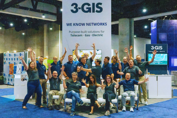
The 2026 Esri User Conference gave us five packed days of GIS-centered sessions, demos, and conversations across telecom and utilities.
This year brought a lot together at once, the first major event appearance for the updated 3-GIS brand, a full lineup of product demos (including some never-before-seen functionality), two conference presentations, and customer interviews throughout the week.
Between the plenary, the booth, and the sessions, there was always something happening and plenty worth bringing back to the teams and customers we work with every day. Let’s dive in.
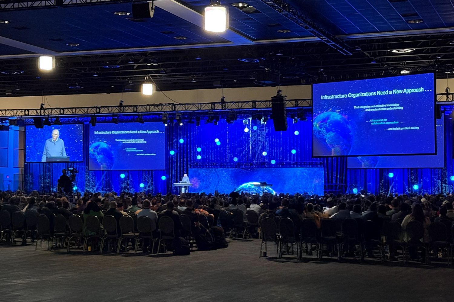
The week began with the plenary, where Esri focused on GIS, AI, and the expanding role of location intelligence across industries.
For our team, Monday was about getting settled, reconnecting with the GIS community, and opening the week with a fresh look for 3-GIS.
The brand launch gave us a new visual presence, but it also framed a broader point. 3-GIS continues to evolve alongside the organizations we serve, while staying grounded in the same operational priorities that brought many of us to the conference.
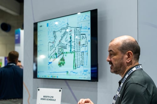 The show floor opened Tuesday, bringing a steady stream of demos, questions, and conversations to the booth.
The day’s booth sessions focused on telecom, beginning with fiber network management before moving into platform extensions and new product capabilities.
While Tuesday centered on 3-GIS | Web, Wednesday’s sessions demonstrated best practices for utility field data collection using 3-GIS | MIMS, how 3-GIS | Productivity can simplify Utility Network workflows, and ways to utilize Esri’s Telecom Domain Network.
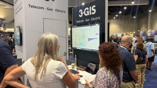 Across those sessions, the common thread was dependable network data, keeping it accurate, accessible and useful as work moves between the office, the field, and the systems supporting both.
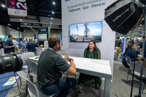 The need for connected, dependable network information became more tangible in our conversation with Lakshmi Ravinutala, GIS Analyst at Dominion Energy.
Lakshmi described how field crews rely on GIS during storm response, when checking a transformer or pole attribute cannot wait and how Dominion Energy uses 3-GIS | MIMS to give crews access to crucial information while in the field.
She also spoke about the broader goal of creating a more connected experience across the systems field teams use, including platforms such as SAP. Her perspective grounded the week’s larger conversations in the reality of field work, where reliable access to information has a direct impact on what crews can do next.
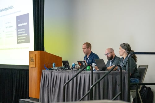 For those who have been looking to manage telecom networks in Esri's Utility Network, now there is a native Esri data structure to model fiber alongside gas and electric networks, the Telecom Domain Network.
During our session, Operationalizing Esri’s Telecom Domain Network, we focused on what comes next, as adopting the model requires more than configuring its structure. The real value comes from making the Telecom Domain Network work within the people, applications, and processes already supporting the network. Organizations will need to bring existing network data forward, account for governance, preserve established workflows, and determine how teams will use it in practice.
We’ll be revisiting the topic again in a virtual session. Be sure to follow us on LinkedIn to stay up to date with the latest.
Thursday morning began with one of the clearest phrases of the week: data everywhere. That was the starting point for our joint session with Ohio Gig, Bringing Fiber into Focus: From Disconnected Data to Actionable Insight.
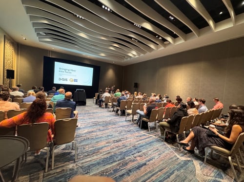 As Ohio Gig’s fiber network grew, so did the number of places where information lived. Planning happened in Google Earth. Designs came from third parties and other tools. As-builts could be hand-drawn or passed along through institutional knowledge. Reporting was difficult to trust because different sources could produce different answers.
The challenge was not a lack of data. It was that the data was scattered, duplicated, and difficult to follow from one stage of the network lifecycle to the next.
Ohio Gig addressed that by creating a location-based network record in 3-GIS | Web. Legacy information and new data could be brought into one environment and carried from high-level design through field walkout, permitting, as-built documentation, and operations.
That shared network record also made it possible to create different views for engineering, sales, and marketing without creating separate versions of the network for each team.
The lesson was simple. Better reports begin with better data.
GeoAI and agentic AI were among the most visible topics at the conference.
Lakshmi described a future where users move from simply using GIS software to collaborating with it. That idea captured much of the optimism around more natural, intelligent interactions with GIS.
But the customer and session stories throughout the week kept the conversation grounded.
AI cannot resolve a network split across conflicting sources. It cannot make outdated asset information trustworthy. It cannot remove workflow friction if the underlying systems remain disconnected.
Ohio Gig’s story showed the work required to create a reliable network record. Dominion Energy showed what it takes to keep that information available in the field. Our Telecom Domain Network session looked at how a new model becomes operational.
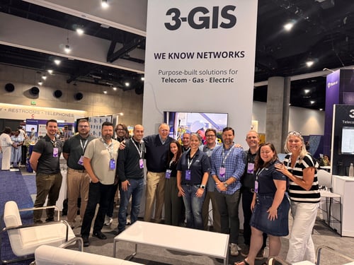
Esri UC 2026 gave us a full week of conversations about where GIS is headed and what organizations need from it today. Across telecom and utilities, the strongest examples came back to the same fundamentals: reliable network data, connected workflows, and systems that support the work from design through construction and operations.
The technology will continue to change, but those fundamentals are what make it useful.
Thank you to everyone who attended a session, stopped by Booth 219, or shared part of their own GIS work with our team.
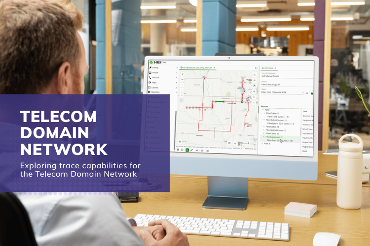
The Telecom Domain Network (TDN) provides a framework for modeling telecom infrastructure within the ArcGIS Utility Network. As organizations begin...
The Esri Infrastructure Management & GIS Conference (IMGIS) brought together telecom, utility, and infrastructure professionals looking to build...
Editor’s note: Originally published by SSP Innovations under SSP Productivity. Updated by the 3-GIS Team with the current product name, 3-GIS |...