1 min read

Collecting railroad crossing information for fiber planning

Collecting railroad crossing information for fiber planning

Recently, I tuned into a webinar hosted by the Fiber Broadband Association (FBA) all about permitting. One topic that caught my attention was the process of obtaining a railroad crossing permit, which, in the United States, requires including a standardized railroad crossing ID.

Curiosity piqued, and I decided to do a bit of sleuthing to see if this data was readily available. A quick Google search with the terms "Federal Railroad Crossing Esri" led me straight to the Federal Railroad Administration Safety Crossing Inventory, Form 71. I found that this database contained up-to-date information that could really simplify the permitting process.

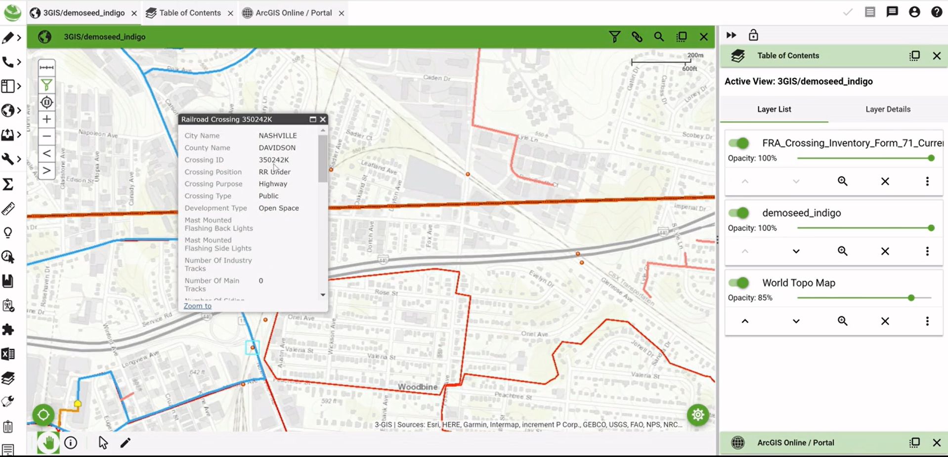
Next on the agenda: figuring out how to plug this data into 3-GIS | Web. After some navigation through the integrated Esri online portal, I stumbled upon a feature layer housing exactly what I was looking for – railroad crossing intel. With just a few clicks, I seamlessly integrated this layer into the 3-GIS | Web map interface, easily visualizing and analyzing fiber network routes in relation to railroad crossings.


The feature layer doesn’t just spot where fiber routes intersect with railroad lines – it provides essential details, including the railroad crossing ID needed for permits. And, as I learned during the webinar, getting permits to cross railroad lines is about as standardized as it gets in the U.S., with every company needing that ID.

Thanks to this comprehensive dataset, planners and engineers can more efficiently navigate through the permitting process. Plus, because this data is kept fresh with regular updates—the last one was just two months ago—we know we have the most accurate and current information.

In a nutshell, this journey from webinar wisdom to real-world application highlights the importance of embracing technology and making the most of available resources. Esri's railroad crossing dataset is a prime example of how a little innovation can go a long way in expediting infrastructure projects.

First deep dive into Esri’s Telecom Domain Network – Rotterdam, April 8–10

First deep dive into Esri’s Telecom Domain Network – Rotterdam, April 8–10

Last month, I had the opportunity to attend Esri's Telecom Domain Network (TDN) Knowledge Transfer session in Rotterdam. While others from the 3-GIS...

Read More
Our top takeaways from the 2025 Esri User Conference

Our top takeaways from the 2025 Esri User Conference

The 3-GIS team just spent the week with over 15,000 geospatial professionals from 130-plus countries at the 2025 Esri User Conference.1 The show...
Read More
3-GIS CEO Tom Counts is on set

3-GIS CEO Tom Counts is on set

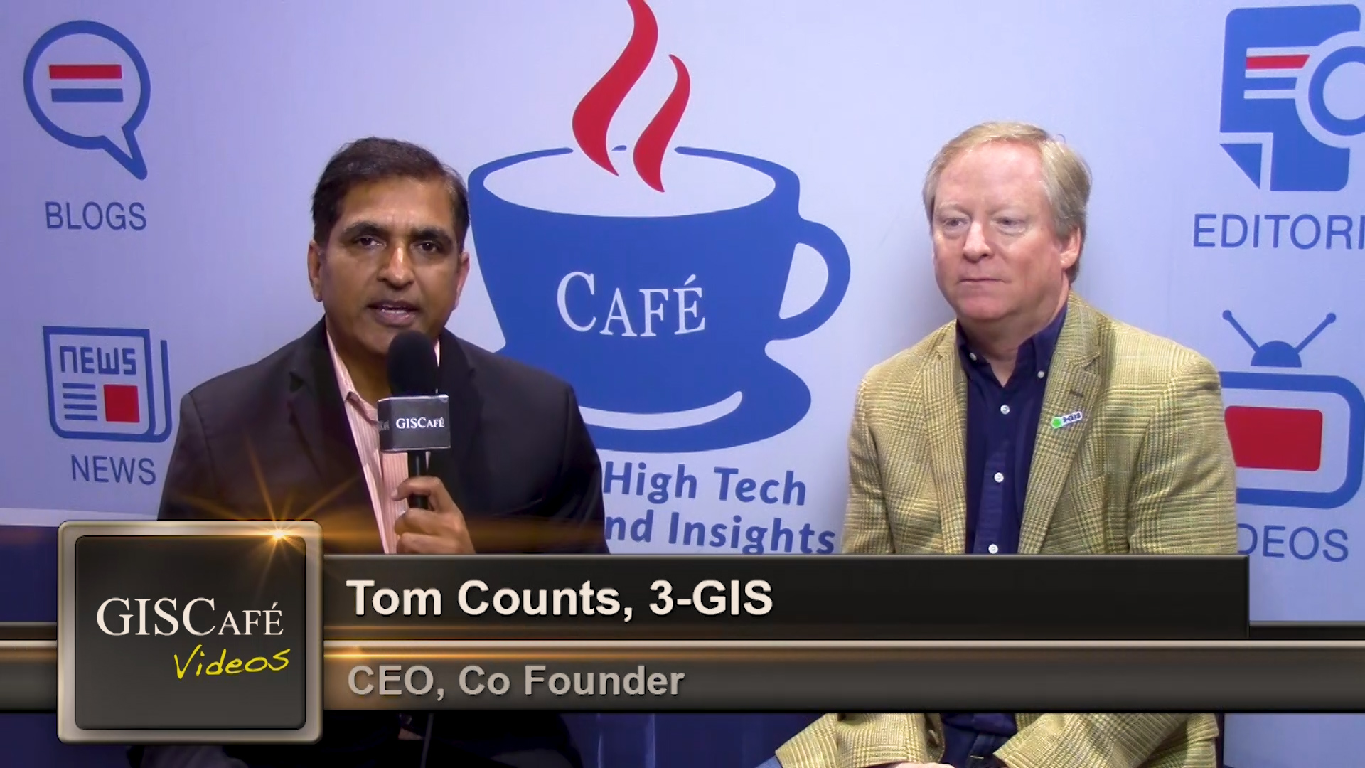
3-GIS CEO Tom Counts was interviewed for a video series called GIS Cafe at the 2019 Esri User Conference. During the segment Tom gave his thoughts on...

Read More