Inside our week at the 2026 Esri UC
The 2026 Esri User Conference gave us five packed days of GIS-centered sessions, demos, and conversations across telecom and utilities.



Faster installs depend on more than speed. Watch how connected orders, field work, and network records keeps Waterloo Fiber moving from request to activation.

Inspection findings should not sit in reports. Watch how Modesto Irrigation District moves field findings into repair assignments teams can act on.
3 min read

The Esri Infrastructure Management & GIS Conference (IMGIS) brought together telecom, utility, and infrastructure professionals looking to build smarter, more connected networks.
For 3-GIS, this year marked a milestone. With the addition of our full utility product line, both telecom and utility teams came together under one roof for the first time. That shared presence reflected what’s happening across the industry as fiber and utility networks converge, facing the same challenges in data accuracy, field coordination, and system integration.
From the plenary stage to booth conversations, one theme stood out: organizations are ready for connected tools that bridge the field and the office and make work faster, simpler, and more accurate.
The plenary spotlighted where Esri is heading:
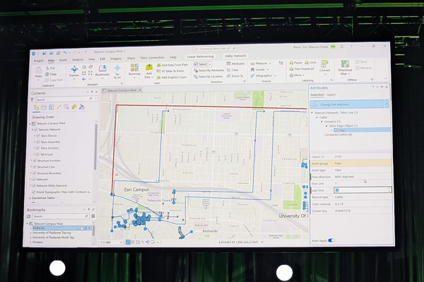
The TDN introduces a shared data model that ties telecom workflows into the Utility Network framework. That means a clearer, unified way to manage connectivity, assets, and service readiness.
Utilities everywhere are trying to reduce inspection delays and cut down on manual tracking without replacing the systems they rely on. Two IMGIS sessions showed what that looks like in practice.
Both examples proved a simple truth: automation works best when it strengthens existing operations, not when it replaces them.
Throughout the week, our team heard many of the same priorities.
What are utilities focused on right now?
Reducing repetitive work, eliminating inefficient steps, and ensuring data accuracy between field and office teams.
Why does it matter?
Disconnected systems and manual updates slow down inspections, increase reporting errors, and make compliance harder to maintain. A connected, real-time GIS workflow helps teams capture field data once and trust it everywhere.
Mobile solutions built and configured specifically for the job-at-hand, like 3-GIS | MIMS, make that possible. Helping crews perform inspections and redlines in the field, update GIS records, and sync data instantly to keep everyone aligned.
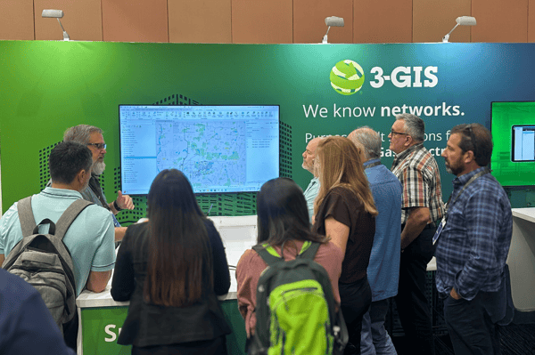
What are telecom operators trying to solve?
Connecting design, construction, and activation while coordinating across multiple contractors and keeping service delivery on schedule.
Why does it matter?
As fiber builds grow in scale and complexity, data silos can lead to design delays, construction errors, and costly rework. Real-time visibility helps operators keep every project on track from planning to activation.
That kind of coordination depends on a connected system, like 3-GIS | Web, enabling telecom teams to work from the same up-to-date information and to keep projects aligned from design through activation.
Across sessions and side conversations, the same themes kept coming up.
Esri IMGIS 2025 confirmed what’s already happening across the industry: connected data, real-time collaboration, and automation are becoming the standard.
At 3-GIS, we’re committed to delivering utility and telecom solutions that integrate seamlessly into our customers’ workflows and make them better. Our product development is guided by direct customer feedback, ensuring we continue to build tools that support the critical infrastructure work happening in communities everywhere.

The 2026 Esri User Conference gave us five packed days of GIS-centered sessions, demos, and conversations across telecom and utilities.
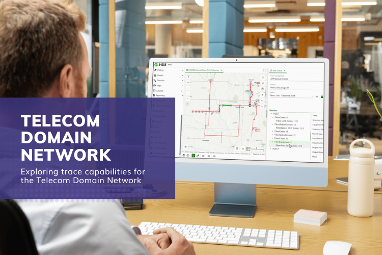
The Telecom Domain Network (TDN) provides a framework for modeling telecom infrastructure within the ArcGIS Utility Network. As organizations begin...
Editor’s note: Originally published in July 2023 by SSP Innovations under SSP SPANS. Updated in 2025 by the 3-GIS Team with the current product name,...