Skip to the main content.

Webinar | Turning inspections into action
Turning inspections into action

Inspection findings should not sit in reports. Watch how Modesto Irrigation District moves field findings into repair assignments teams can act on.

Telecom | Event

3-GIS at Capacity Europe 2026

Capacity Europe brings together the operators, infrastructure providers, technology companies, and partners shaping the next phase of global connectivity.


As fiber investment, AI demand, and infrastructure growth place new demands on networks, operators need a clearer view of capacity, connectivity, and constraints. 3-GIS will be in London to talk about the network data and operational insight behind those decisions.

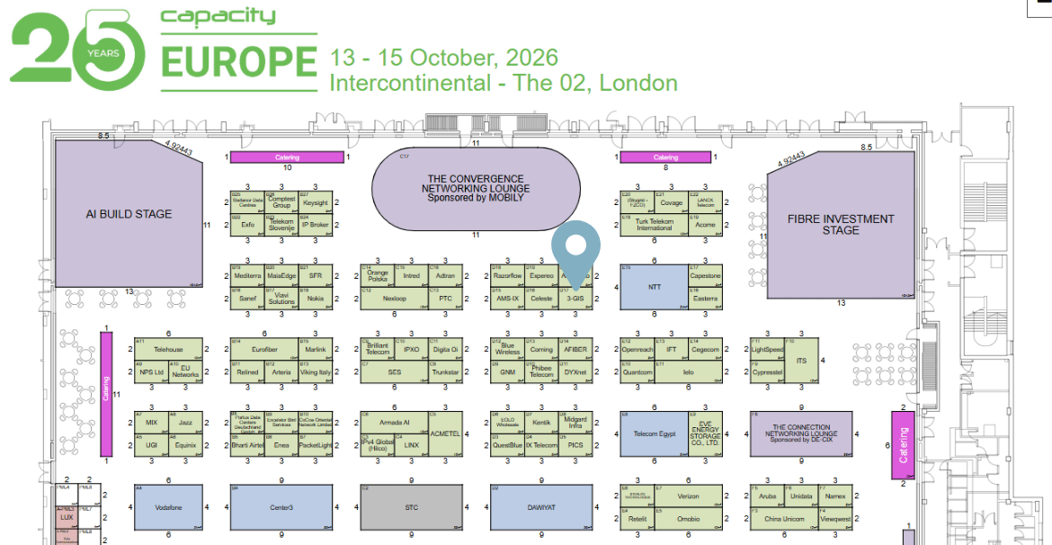
  • Where: London, UK
  • When: October 13-15, 2026
  • Booth: D17
3-GIS tradeshow booth
3-GIS at Capacity Europe 2026

Where to find us

Stop by booth D17 to talk with our team about the network information behind expansion and service delivery, from evaluating new opportunities to supporting data center and hyperscale demand. We’ll be discussing how a connected operational view of the network can inform planning, provisioning, and ongoing management.

Meet the team

Ed Bagnall
Ed Bagnall

General Manager, EMEA

Sakshi Singh
Sakshi Singh

Regional Sales Manager, UK

Mustafa Alamro

Mustafa Alamro

Solutions Engineer

Gustav Janssens
Gustav Janssens

Senior Solutions Consultant

Resources

How we can help

3-GIS brings together the network data, workflows, and field tools telecom teams rely on to plan, manage, and maintain infrastructure.

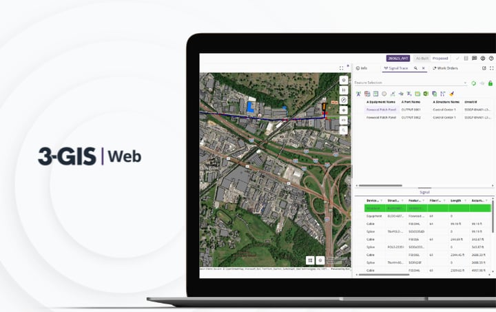
3-GIS | Web Image
Telecom | Product spec sheet 3-GIS | Web 3-GIS | Web brings telecom network data, GIS editing, signal tracing, project tracking, and enterprise collaboration together in one browser-based system.
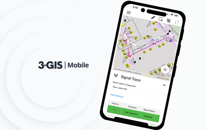
3-GIS | Mobile Image
Telecom | Product spec sheet 3-GIS | Mobile 3-GIS | Mobile gives field teams access to telecom network data from iOS and Android devices, supporting redlines, inspections, outage tracing, and field updates.
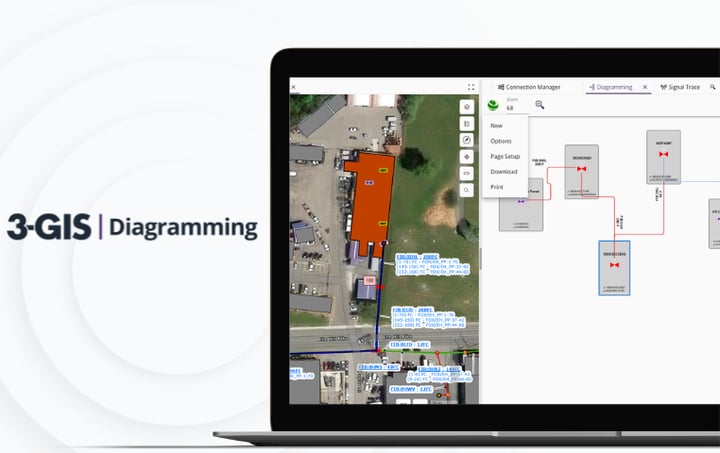
3-GIS | Diagramming Image
Telecom | Product spec sheet 3-GIS | Diagramming 3-GIS | Diagramming turns network data into configurable visual outputs, helping teams isolate details, understand connectivity, and communicate network changes more clearly.

Let's connect

Attending Capacity Europe 2026? Let's chat. Book a meeting to schedule some one-on-one time with us. Not attending? Contact us, and we'll schedule a meeting at your earliest convenience.