1 min read

CDG introduces 3-GIS integration for MBS

CDG introduces 3-GIS integration for MBS

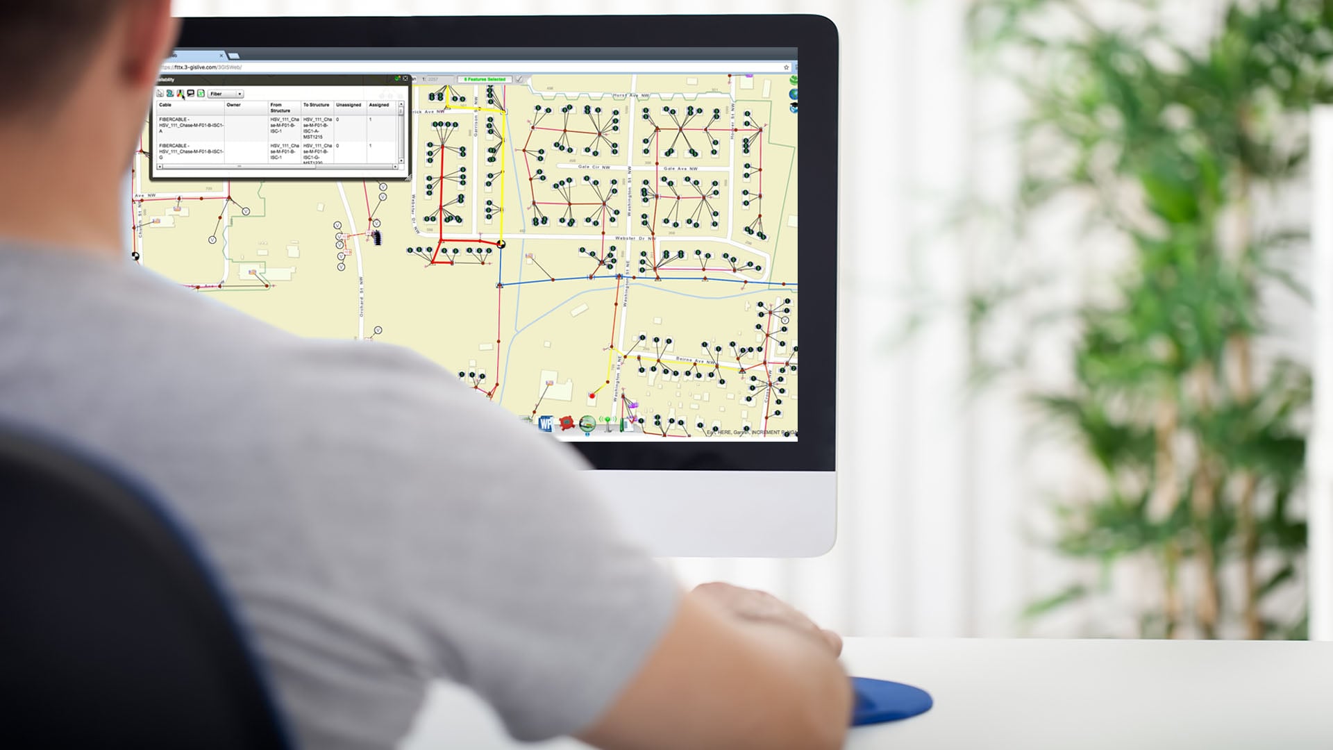
Champaign, IL – Communications Data Group (CDG) is pleased to announce the recent integration between CDG’s MBS consumer and enterprise billing and OSS solution and 3-GIS’s fiber network management software. The initial phase of the integration allows MBS clients utilizing 3-GIS software solutions to manage the address structure creation and ONT equipment creation and removal in 3-GIS through MBS, while the 3-GIS Patch Panel assignment to the address is managed in 3-GIS and then automatically generated in MBS. Additional phases to expand the integration and create 1-click access between the two systems are planned for the future.

According to CDG’s Vice President of Product Development, Mike Chalk, “Integrating the 3-GIS and MBS systems is a great example of an enhancement that we feel benefits the workflow processes in both systems by reducing swivel-chair activities between 3-GIS and MBS, increasing the transparency, and simplifying the client’s ability to access 3-GIS information directly through MBS.”

When asked about the value of the integration with MBS, Michael Measels, VP of Product Management at 3-GIS, noted, “The MBS integration expands further on our philosophy to ‘open data for business’ as our customers ready network assets for service and achieve faster returns on their investment.”


About CDG:

CDG has been providing scalable, accurate (B/OSS) billing and operational support solutions for voice, video, and data for retail and wholesale telecommunications carriers and service providers since 1970. Options include: BDS, Interconnect, CABS, Mediation, MBS Customer Care, Network / Plant, Ticketing, Service Provisioning, E-Care, Workflow, CRM / Prospects, and third-party financial, accounting, mapping, and facilities management products.

About 3-GIS:

3-GIS, an SSP Innovations company, empowers companies to achieve better operating efficiencies and meet the challenges of building increasingly complex fiber networks. 3-GIS uses a data driven approach based on geospatial reference, rules-based calculations, mobility, and web-based services to realize the market opportunities of fiber assets. The company has development, design services, product support, and operational staff in five countries challenging the status quo every day to improve the economic visibility of fiber networks.

3-GIS strengthens market leadership with enhanced focus on delivering advanced geospatial solutions for utilities

3-GIS strengthens market leadership with enhanced focus on delivering advanced geospatial solutions for utilities

HUNTSVILLE, AL — 3-GIS today confirmed its expanded market position, now serving both telecom and utility providers with intelligent, cloud-based...
Read More
APIs: ditching swivel chairs and embracing interoperability

APIs: ditching swivel chairs and embracing interoperability

APIs are continuing to shatter the past misconception that they are exclusively for the tech giants. Harvard Business Review1 emphasizes that APIs...

Read More
Along the Path: How can we boost operational efficiency?

Along the Path: How can we boost operational efficiency?

Welcome to the 2024 Q4 edition of Along the Path. In this edition, we’re focusing on ways to boost efficiency from using your data to help supplement...

Read More