
3-GIS | Web
The telecom network system of record
3-GIS | Web is a web-based telecom network management platform for planning, designing, documenting, analyzing, and managing the data behind telecom operations. Built around assets, connectivity, capacity, and change, it gives teams the authoritative record they need to understand the network, coordinate work, and make better operational decisions.
Web at a glance
3-GIS | Web gives telecom organizations a centralized, web-based environment for managing network assets, connectivity, workflows, and operational visibility across the full network lifecycle. It connects planning, design, construction, documentation, maintenance, and operations so teams can work from a more trusted, connected, and current view of the network.
Network system of record
Turn network data into intelligence
Today’s telecom networks cannot be run from static maps, disconnected design files, and scattered inventory records. With 3-GIS | Web, operators can maintain a connected operational record that supports serviceability, capacity planning, restoration, revenue activation, expansion, and long-term asset management.
Key features
Built for the life of the network
3-GIS | Web brings network data, connectivity, design activity, workflow controls, and operational context into a browser-based environment for managing telecom infrastructure across the network lifecycle.
Connected assets
Model the physical and logical networks in a centralized GIS-based record, including fiber, copper, ducts, equipment, splicing, and the relationships between critical assets.
Design to build
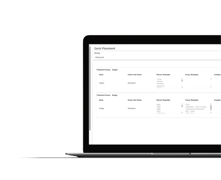
Accelerate network design through streamlined lateral creation, work orders and project tracking, material placement, and constructible work packet generation.
Path visibility
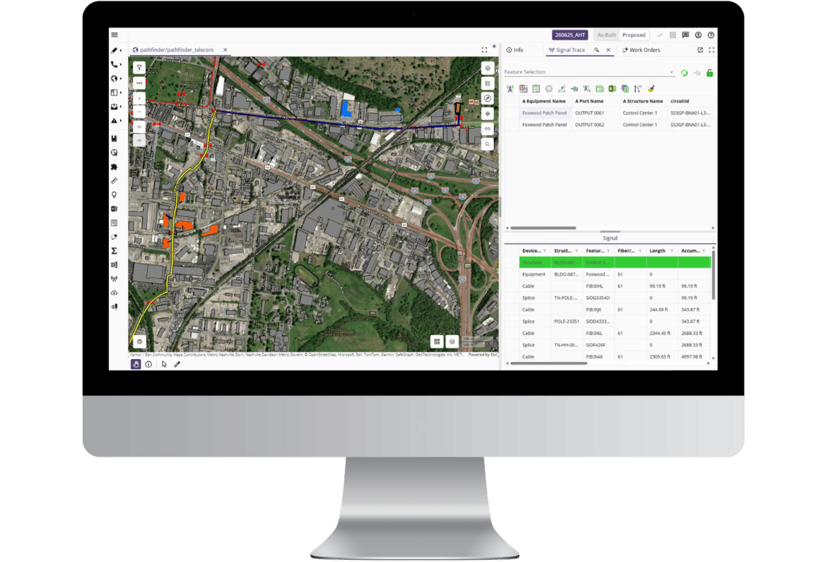
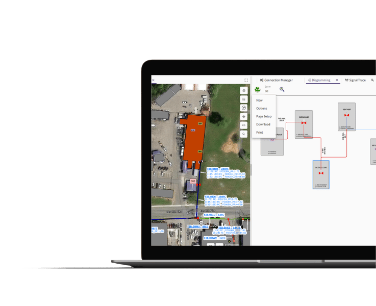
Trace signal paths, document wavelengths, identify optimal open fiber routes, and understand connectivity from A to Z.
Network insight
Use queries, reports, diagrams, integrations, and enterprise data to support operations after the network is built.
Why 3-GIS
Designed for fiber operations
3-GIS | Web empowers telecom operators to move beyond fragmented records and isolated workflows. It provides a governed, browser-based environment where engineering, GIS, construction, operations, and business teams can work from the same network intelligence.
Lifecycle continuity
Maintain continuity between what was planned, what was designed, what was built, what changed in the field, and what is ready for service.
Enterprise integration
Connect network data with CRM, OSS/BSS, serviceability, reporting, permitting, construction, and other enterprise workflows through APIs.
Scalable operations
Accommodate growing fiber footprints, larger teams, multiple markets, complex architectures, and evolving infrastructure demand.
Connected solutions
The core of the telecom solution
3-GIS | Web is the central platform experience for telecom network management. The broader 3-GIS ecosystem extends that environment with tools for field mobility, administration, diagramming, prospecting, integration, and connected workflows across the network lifecycle.
3-GIS | Mobile
Field access and field updates
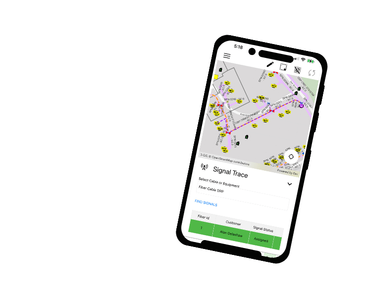
3-GIS | Mobile extends Web into the field, giving crews the network data, redlines, inspections, troubleshooting tools, and update capabilities they need to keep work moving without constant back-and-forth with office staff.
3-GIS | Admin
Configuration and governance
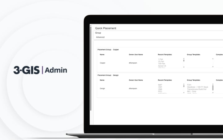
3-GIS | Admin configures and governs the Web environment, including users, roles, permissions, data visibility, QA/QC rules, workflows, reports, and system behavior.
3-GIS | Diagramming
Network visualization outside Web
3-GIS | Diagramming turns network connectivity data from 3-GIS | Web into dynamic, data-driven diagrams that reduce manual drafting and keep network information complete, consistent, and easier to use outside the map.
When your network underpins a critical national service, there’s no room for uncertainty.3-GIS equips us with the confidence that our fiber data is accurate, secure, and ready to support real-time decision-making across the grid.
In our quest to lead Denmark’s digital transformation, aligning with the right technology partners is essential. The 3-GIS solution perfectly complements our strategic objectives, marking a significant milestone in our journey to offer Denmark the most reliable and advanced telecom services.
We chose 3-GIS because we are continuing to invest and extend our network and, put simply, speed matters. We reviewed the market, and the 3-GIS products are the best and the fastest.
3-GIS | Web FAQs
-
What is 3-GIS | Web?
3-GIS | Web is a web-based GIS platform for managing, designing, visualizing, and operating telecom network infrastructure. It acts as the core environment where teams manage network assets, connectivity, workflows, project activity, operational visibility, and enterprise network data.
-
Is 3-GIS | Web just design software?
No. 3-GIS | Web supports design workflows, but its larger role is telecom network management across the full lifecycle. With Web, operators can maintain the connected network record needed for planning, design, construction, as-built documentation, serviceability, capacity planning, maintenance, troubleshooting, and operations.
-
How does 3-GIS | Web support operations?
3-GIS | Web gives operations teams a trusted view of the physical network, logical connectivity, active work, and service impact behind day-to-day decisions. Instead of relying on disconnected records or manual interpretation, teams can work from network data that reflects how assets connect, where work is happening, what capacity exists, and how changes may affect service delivery, maintenance, restoration, and future expansion.
-
Is 3-GIS | Web available as SaaS or on-premises?
Yes. 3-GIS | Web can align with different technology environments, including SaaS and on-premises access. That flexibility gives telecom organizations a path to use the platform in the way that fits their internal requirements, IT strategy, security considerations, and network management operations.
-
How does 3-GIS | Web fit with 3-GIS | Mobile?
3-GIS | Mobile extends Web into the field. Field teams can access network data, capture redlines, document updates, attach photos, support as-built workflows, and sync field activity back to the 3-GIS environment so office and field users stay aligned.
-
How does 3-GIS | Web fit with 3-GIS | Admin?
3-GIS | Admin configures and governs how users interact with Web. Admin supports users, roles, permissions, workflows, tools, data visibility, QA/QC rules, reports, and system behavior so organizations can manage access and adapt the environment to their needs.
-
What extends 3-GIS | Web?
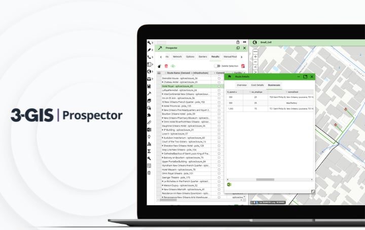
3-GIS | Diagramming and 3-GIS | Prospector are extensions accessed within the Web experience. Diagramming enables the extraction of dynamic network layouts, while Prospector supports planning and market evaluation workflows. APIs and integrations connect Web to surrounding business and operational systems.
Keep exploring
Browse resources on fiber network management, telecom GIS, network inventory, lifecycle workflows, field updates, enterprise integrations, and the 3-GIS product suite.