3-GIS fiber network solutions - an interview with Co-founder Tom Counts
3-GIS works with telecommunications and engineering companies worldwide to help them plan, design, and manage fiber networks. Clients range from...



Faster installs depend on more than speed. Watch how connected orders, field work, and network records keeps Waterloo Fiber moving from request to activation.

Inspection findings should not sit in reports. Watch how Modesto Irrigation District moves field findings into repair assignments teams can act on.
2 min read
We all know it’s going to happen eventually. It does not matter who are you or how prepared you think are; your fiber is going to break. There are an unfathomable number of miles of extremely thin glass hanging in the air, buried underground, or just looped over and over.
When a fault occurs, it can be a daunting task to test and locate exactly where that may be. Fortunately, there are tools and technology available at our fingertips to locate these faults quickly and accurately, so we can get the network back up and running as quickly as possible. Let’s look at a few of the tools 3-GIS users have at their disposal that can help during an outage scenario.
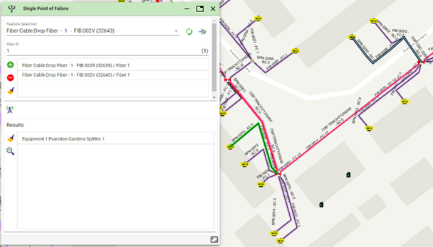
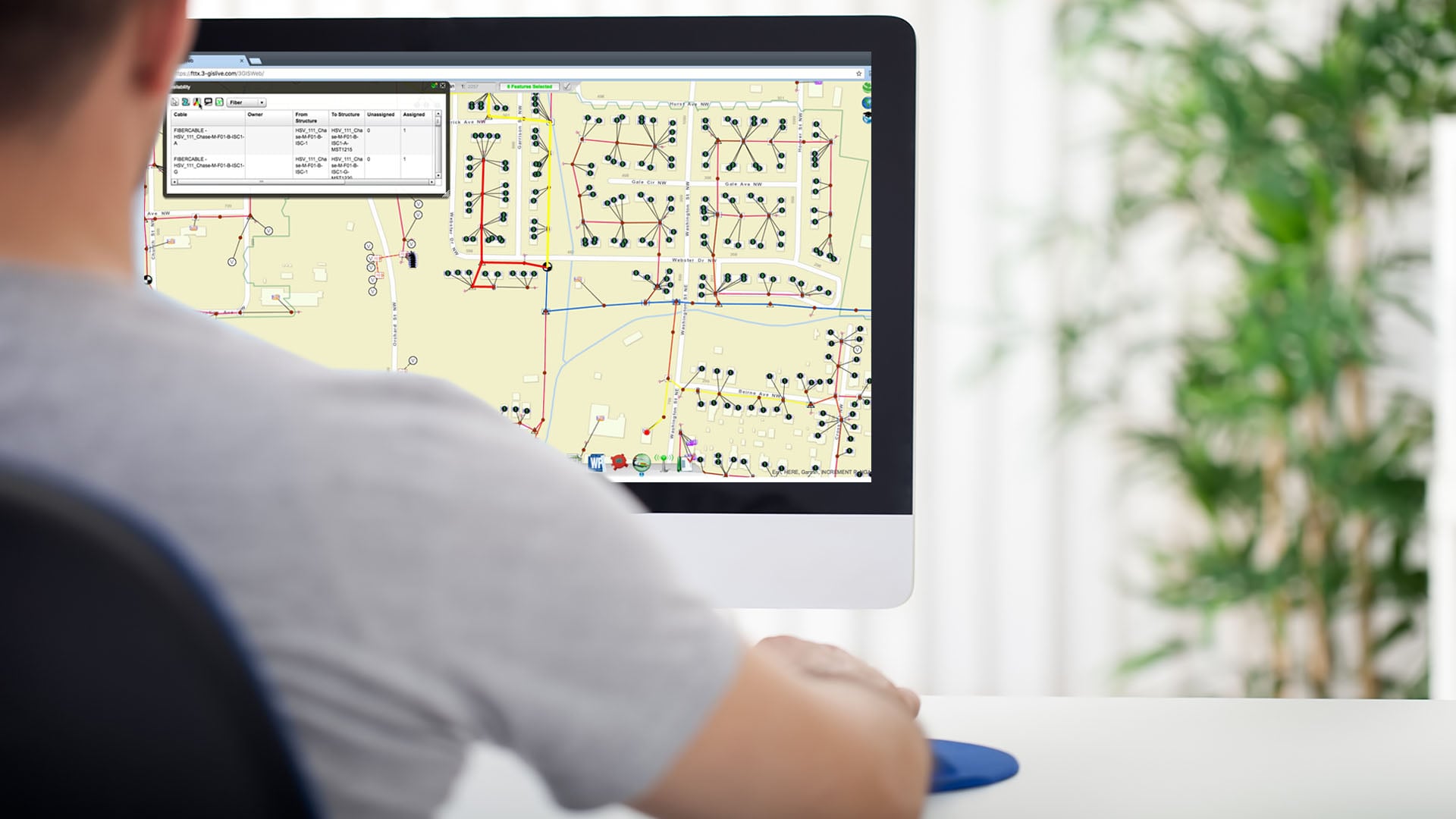
When you start receiving calls from customers reporting an outage or notifications from monitoring equipment of significant signal loss; the Single Point of Failure tool allows you to determine where the shared assets in the network are located. Once you have identified where the potential problem may be occurring, you can dispatch a technician to the right location in the field to investigate and resolve the problem.
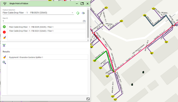 Single Point of Failure tool in 3-GIS | Web
With 3-GIS | Mobile in hand, a field technician can get driving directions to the asset located through Single Point of Failure and, once there, can use an OTDR testing device to get a reading of the signal loss and distance. Entering the resulting distance from the OTDR test into 3-GIS | Mobile provides the location of that fault on the map, taking into consideration all slack and any sag. This eliminates the time-consuming task of calling back to the office and having someone look up where that distance might be. Instead, the technician in the field can immediately identify the location of the fault and instantly navigate to that location using GPS-provided directions.
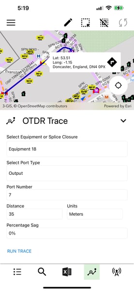 OTDR Trace tool in 3-GIS | Mobile
Once the technician arrives at the fault, they will need to identify the customers affected by the cut. Using Signal Trace in 3-GIS | Mobile, the technician can see all the circuits and signals on a cable, understand what customer is on each strand in the affected cable, and even generate a splice report if desired.
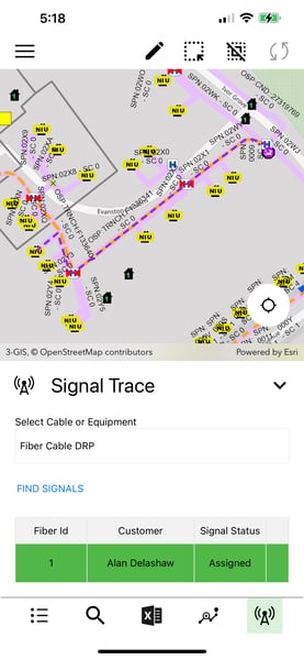
Signal Trace tool in 3-GIS | Mobile
3-GIS | Web and 3-GIS | Mobile work together to seamlessly provide field crews with the tools and the insight needed to detect and respond to issues faster. By embracing these technologies, we not only streamline fault detection and resolution processes, but also minimize disruptions for customers. In a world where the unexpected is inevitable, these tools make all the difference in maintaining a robust and resilient fiber optic network.
3-GIS works with telecommunications and engineering companies worldwide to help them plan, design, and manage fiber networks. Clients range from...

3-GIS often times finds itself providing both consulting and implementation services to support construction rideout (CRO) activities. Interestingly,...

The demand for data across the globe has been steadily gaining speed. According to a Cisco report, global internet traffic was 26,600 GB per second...